Compared to some regions of the state, there aren’t many waterfalls in the Allegheny National Forest. However, there are a few, and Pigeon Falls is one of my favorites.
Pigeon Falls is located east of Marienville in Forest County, PA. While it’s not especially difficult to reach, it does require a long drive on dirt roads and a two-mile roundtrip hike to get to this beautiful waterfall.
From Marienville, it’s an 8.6-mile drive which starts on East Spruce Street (though the road does change names a few times). Up until the very end of this drive, the road is quite well maintained and reaching the area in a regular car was no issue.
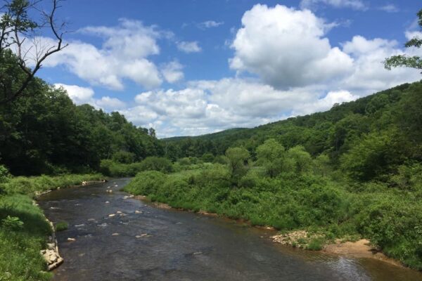
However, the parking area sits on the opposite side of a bridge, and the road leading up to the bridge is very rutted. If you are in a car, I’d recommend parking just prior to the bridge and walking the last two-tenths of a mile to the trailhead (More details about reaching the waterfall can be found below).
From the parking area on the far side of the bridge, cross the road and follow the old dirt road past a gate. The trail is quite overgrown in the beginning but does open up soon after you start down the trail.
Within a short distance, the road ends and the path becomes a narrow trail at a wet stream crossing. This trail is part of the Spring Creek Horse Trail.
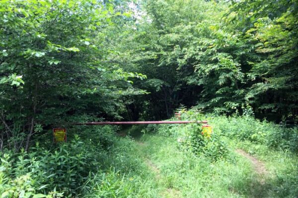
The trail winds its way through the forest for a mile to Pigeon Falls. It isn’t very well marked and rather overgrown in places but is easy to follow.
When water levels are higher, this trail can be quite soggy and muddy, so be prepared to get your feet wet. Since it is primarily used as an equestrian trail, also keep an eye out for horse droppings as you hike.
The trail opens up and crosses Pigeon Run just downstream of the falls. At Pigeon Run, there is a sign for Pigeon Falls and a picnic table.
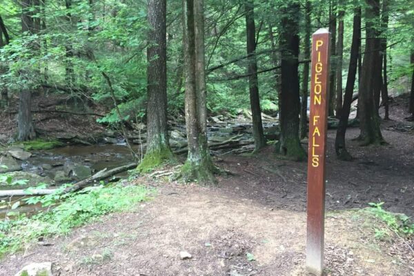
The waterfall is about 150 feet upstream of the main trail, and it is quite easy to reach the base of the falls from the trail.

"Waterfalls of Pennsylvania" by Jim Cheney
If you love PA waterfalls, you won't want to miss this waterfall book from Jim Cheney, author of Uncovering PA, featuring more than 180 great waterfalls. Order it now on Bookshop.org or Amazon.
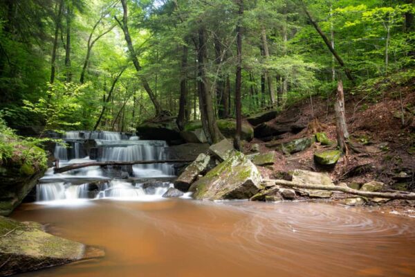
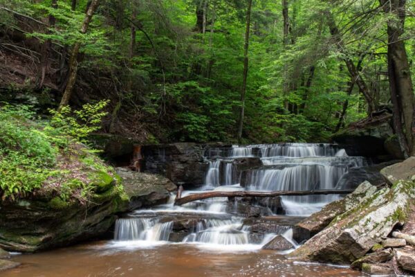
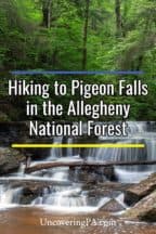
Pigeon Falls isn’t overly large. In fact, it’s only about 8-10 feet tall. However, the waterfall cascades down a series of drops, which creates an incredibly beautiful scene. There are ample places around the stream to view the waterfall and take photos from, making this a great spot to spend a few minutes relaxing.
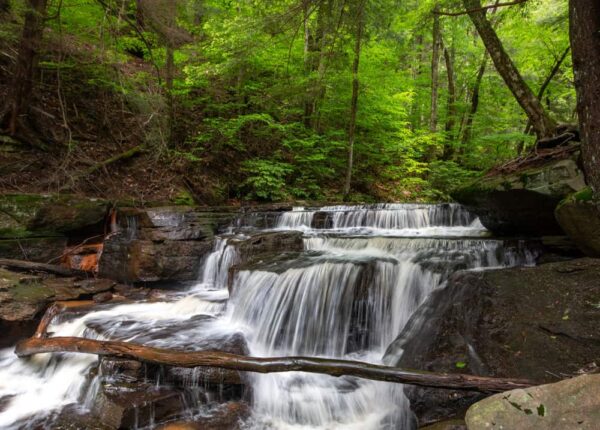
Once you are ready to leave, simply retrace your steps for the mile hike back to your car.
While Pigeon Run Falls is far from the largest or most majestic PA Waterfall, it’s definitely one of the most scenic and worth the trek to reach this isolated spot in the Pennsylvania Wilds.
How to Get to Pigeon Falls
Pigeon Falls is located on the eastern edge of Forest County, Pennsylvania.
From Marienville, take East Spruce Street (Route 130) for 8.6 miles to the parking area. The main parking area can be found here: 41.459354, -78.969456.
If you are in a regular car, park in the parking area on the left side of the road a few hundred feet prior to the bridge as the road leading up to the bridge is heavily rutted.
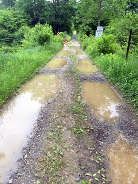
The trail to Pigeon Falls is on the left side of the road just after the bridge over Spring Creek.
While the trail leads right up to Pigeon Falls and is easy to follow, here are the waterfall’s coordinates for those that use them: 41.469556, -78.960528.
Looking for more places to visit nearby? Check out Logan Falls, Hector Falls, and Cook Forest State Park.
[Click here for information on how to use the coordinates in this article to find your destination.]

 "
"

Jim, if you get the chance, visit this creek in Scrubgrass Twp in Venango county. Very hidden gem and plent y of waterfalls. Go the following coordinates 41.202719, -79.771976 and park the car. Walk the private lane in and there’s an absolute beauty of a trout stream that flows into the Allegheny near Kennerdel PA.
My family has a camp in the CCC site and my brothers always went to Pigeon Falls to let the kids fish. Great spot for little kids as there are plenty of little fish. The walk is a beginner flat track, but like mentioned can be muddy and horse poop. Rattlesnakes in the summer. Beware!
We tried to get up there today 4/3. Yep, the road was bad and we were in a regular car. Unfortunately we took a wrong turn, (no signage of any kind, we were following what ended up being unclear directions … and I am aware that many areas in national forests are not well-signed …). The short version is that our car became very stuck and we were saved only by a couple of alert local citizens who saw us drive up the wrong road and drove up themselves to make sure we were ok. My advice? Take a paper map and don’t be afraid to turn around and go elsewhere! Otherwise a lovely area on a beautiful day. : )
Always good to know the limits of your vehicle in the wintertime. That being said, the coordinates in this article are going to be much more helpful for getting here than a map (which won’t show the parking area). A map is a good idea in case you get turned around, though, to help you get back to the main roads.