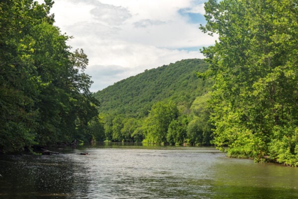

Tucked away on a bend along the meandering Raystown Branch of the Juniata River in northern Bedford County, you’ll find Warriors Path State Park.
Warriors Path State Park occupies an entire peninsula that juts out at a large bend in the river, a short distance south of where it flows into Raystown Lake. At 349 acres in size, it isn’t overly large, but it’s still a great spot to explore if you’re in the area.
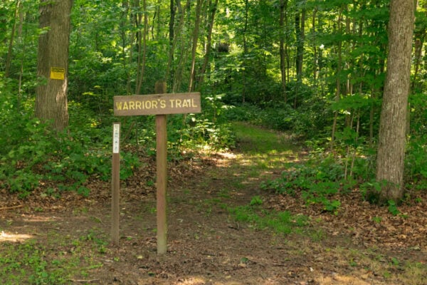
The park is named after the Great Warrior Path which the Iroquois would use when raiding tribes such as the Cherokee. It is said to have run very near to the park.
I had a chance to visit Warriors Path State Park on a beautiful summer day with little idea of what to expect. To be honest, there are no specific highlights in the park, but I was excited to see what I could uncover here.
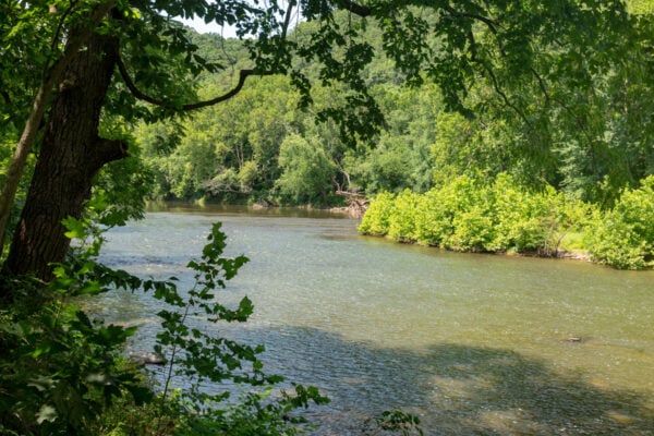
I always love hiking along bodies of water, so I started my visit with a hike along the River Trail Loop.
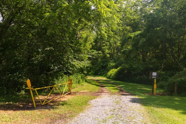
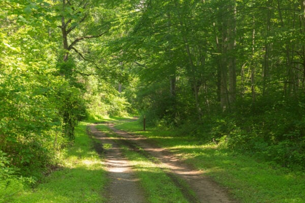
At 1.5 miles in length, the River Trail Loop is the longest trail in the park, and half of the hike follows a road along the Raystown Branch of the Juniata River.
Technically, you could drive along this portion of the trail, but hiking is more fun. Also, I don’t think my car could have made it through the ruts and potholes that were there during my visit, so use caution if you try and drive along this trail.
As I walked, there were several picnic areas to stop and enjoy the great views of the river. Some even provide easy access into the river for fishing or tubing, and I enjoyed relaxing for a bit with my feet in the water.
This is definitely a beautiful hike along the river.
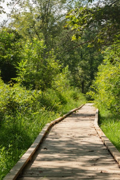
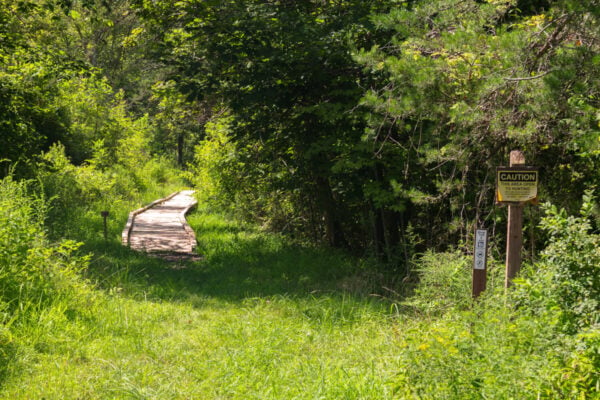
The second half of the River Trail Loop follows the trail through the forest above the river, with portions of the trail on a wooden boardwalk over some marshy spots.
This part of the trail is still quite beautiful but is overgrown in spots. Honestly, if I did it again, I’d just be tempted to retrace my steps back along the river to enjoy the great views again.
During my visit, I also had time to hike portions of the Deer Trail Loop and the Warriors Path Loop. These were both fun hikes that were less than a mile in length, making them easy add-ons during your visit.
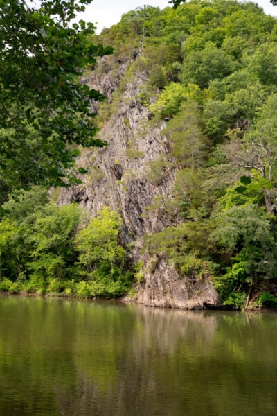
I especially loved the views of the river and the cliffs on the opposite bank from the trailhead for the Deer Trail Loop.
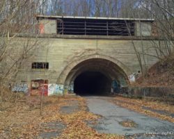
What I found interesting about hiking in Warriors Path State Park is that, with the exception of the small portion of the Huntington & Broad Top Rail Trail that exists in the park, all of the other five miles of trails found here are loop hikes that more or less connect together, allowing you to create a longer hike (along with short bits of road walking in some cases).
So, if you are looking for a short hike with forest or river views, or want to do a hike that’ll take you a few hours, you have some great options within the park. Check out the park’s map to help plan all of your hikes.
Overall, while I wouldn’t consider Warriors Path State Park to be one of the top state parks in Pennsylvania, it’s a fun spot to visit for some peaceful hiking on a unique piece of land in the Allegheny Mountains.
Definitely consider checking it out if you find yourself in this part of PA.
Looking for more places to visit nearby? Check out the East Broad Top Railroad, Trough Creek State Park, and the Covered Bridges of Bedford County.
 "
"