
First off, it is likely the northernmost waterfall of note in PA, located less than two miles as a bird flies from the New York border.
Most interesting, however, is that Nelson Falls might be the newest waterfall in all of Pennsylvania.
Sometime in the 1930s or 1940s, a series of floods caused the river to reroute itself and bypass an oxbow bend in the river. This created the waterfall roughly 40-50 years prior to the lake being created by the building of the Cowanesque Dam.
Today, Nelson Falls can still be seen flowing nearly directly into the western mouth of Cowanesque Lake, which is a federally managed lake and recreation area. While it’s relatively easy to reach, there is no signage indicating its location, so it remains a lightly trafficked area.
The trail to Nelson Falls is only about 0.15 miles long and starts from Route 49 on the northwestern side of the lake just after the road crosses the river/lake while heading north. It’s located approximately 20 miles from Mansfield, PA and Corning, NY (home to the Corning Museum of Glass), and roughly six miles west of Route 15.
For parking, there is a dirt lot on the opposite side of Route 49 from the trailhead at the following coordinates: 41.973611, -77.244389. It should be noted that as of mid-2023, the entrance was a bit tough for a car to access, though I was able to do so. Use caution when pulling into this area.
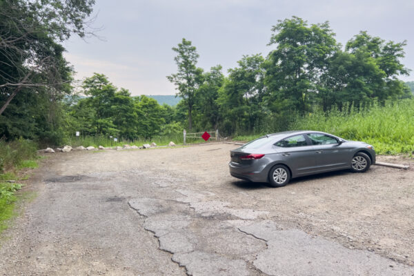
Another option would be the park on the western side of the road (the side of the road heading south) near the end of the guardrail that leads to the bridge at roughly the following coordinates: 41.973615, -77.244391.
As of the summer of 2023, there aren’t any signs indicating that parking isn’t allowed here.
Wherever you park, you should see a red sign along the road indicating that users of this trail need to use caution.
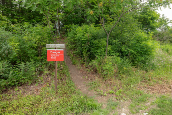
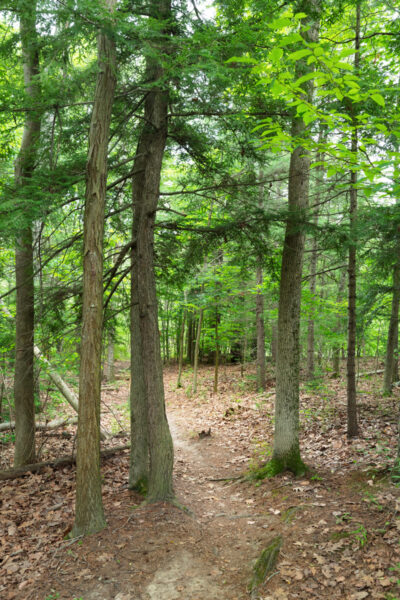
Follow this obvious trail that heads into the woods. While it’s unmarked, it’s easy to follow and winds its way a short distance through the woods to the top of Nelson Falls.
Nelson Falls can be found at the following coordinates: 41.972008, -77.245066.
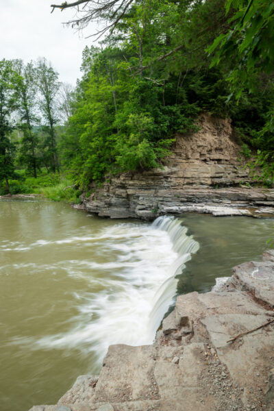
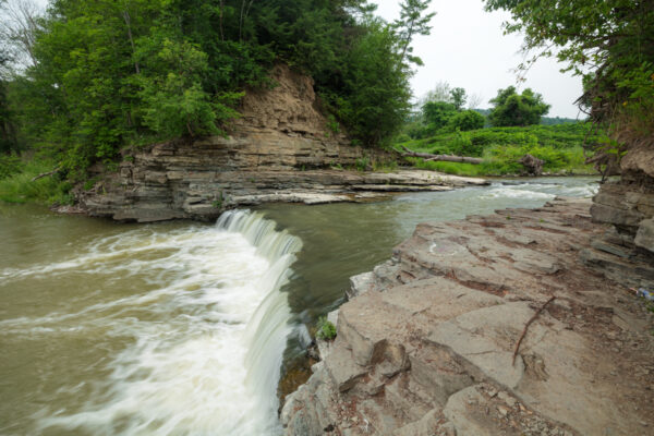
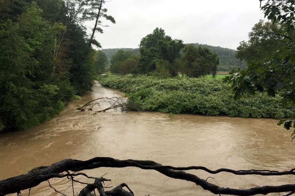
Nelson Falls is only about 6 feet high (though the height can vary based on water levels on the lake), but spans the entire 20-25 foot width of the river in this spot. What it lacks in height, it makes up for in scenic beauty and its unusual location.
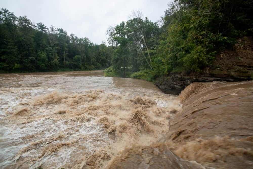
There are various spots from which to view the falls, but make sure to stay back from the edge as the currents at the base of the waterfall can be quite strong, so you don’t want to fall in. Given how powerful this waterfall can be, I’d imagine the banks are prone to collapsing at just about any point, so make sure to stay far back from them.
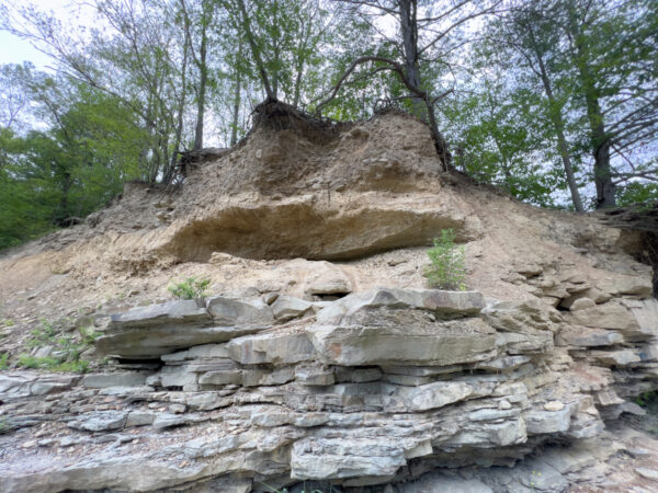
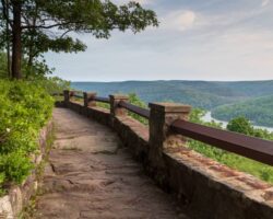
There are several spots from here to view Nelson Falls, though you can really only get a good view from the side of this waterfall. However, if you climb up the hillside slightly, you can see the Cowanesque River above the falls as well as the oxbow bend that was bypassed but does still have water, especially during times of high water like when I visited for the first time.
When water levels are low, you can also carefully climb down towards the water. Just note that the hillside is pretty undercut, so make sure to use caution with both that and the water.
Overall, while Nelson Falls is a bit isolated and far from the region’s most impressive waterfall, it’s still a neat spot to explore if you find yourself in northern Tioga County or traveling along Route 15/I-99 near the Pennsylvania/New York border.
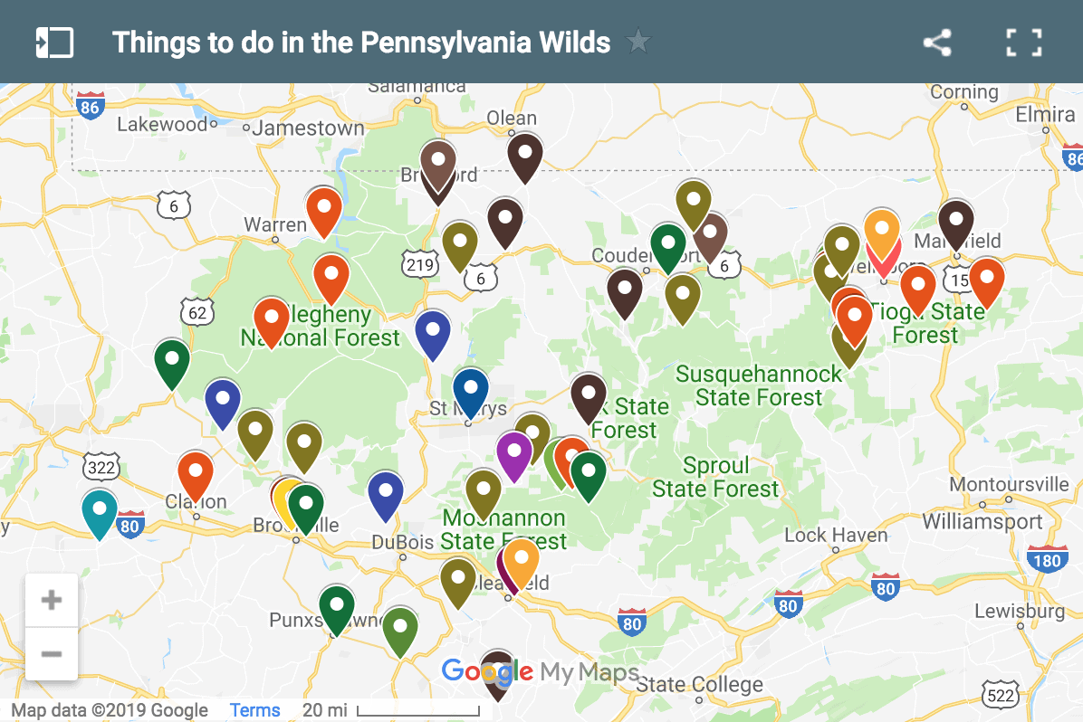
Looking for more places to visit nearby? Check out the Pennsylvania Grand Canyon, Hills Creek State Park, Tioga Reservoir Overlook, and the History Center on Main.
[Click here for information on how to use coordinates to find your destination.]
 "
"

Very nice article! My husband grew up in the original Nelson. We lived in nearby Elkland for 28 years….moved six years ago to quaint Wellsboro.
This was a pretty neat read. I am unsure how familiar the writer was with the Nelson falls but the falls were more of an attraction back before they raised the level of the lake. We used to fish and play at the falls. They used to be about 12-15 feet of falls and you could walk behind the falls on the rock ledges back then. This was when the lakes swimming area was on the back side of the lake. The old changing rooms/restrooms are now underwater after they raised the water level approximately 40 feet at the damn. I believe this was done in the late 80’s. I still remember playing ice hockey on the lake by the Nelson park. Hackett’s was a country store with car sales and shop back then. It was about a mile or so from where I grew up.
There also used to be a building down on the back side of the lake near the dam that had the historic information. I believe it’s the Army Corp of Engineers building that takes care of the damn and the falls along with the Cowanesque River.