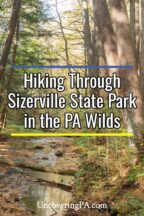
I always love exploring new-to-me state parks in rural parts of PA, so I was excited to finally have a chance to check Sizerville State Park off my list.
Sizerville State Park is located in Cameron County and Potter County a short distance north of Emporium, PA. It is one of the oldest state parks in the Pennsylvania Wilds, having been created in 1924.

At a bit under 400 acres in size, this is one of the region’s smallest parks, though it is bordered by Elk State Forest, which is one of the largest contiguous pieces of state-owned land. Interestingly, this was the first place where beavers were reintroduced into the state in 1917 after becoming extinct in years prior.
Sizerville State Park is home to a variety of attractions including a small campground, a swimming pool, a CCC marker, and hiking trails.
There are only five miles of hiking trails in the park, most of which are rated as easy hiking. However, those that love long-distance hiking will find one of the trailheads for the 33.5-mile Bucktail Path in the park.

During my visit, I opted to make a loop out of the Snowmobile Trail and the Bottomlands Trail that was roughly a mile and a half in length. This allowed me see some of the park’s most beautiful spots during my visit.
The trail starts near the park’s entrance and swimming pool at a small parking lot next to the East Branch Cowling Run. It can be found at the following coordinates: 41.596667, -78.183611.
While you can hike the loop in either direction, I opted for a counterclockwise hike starting on the Snowmobile Trail to save the most interesting part of the hike for the second half.
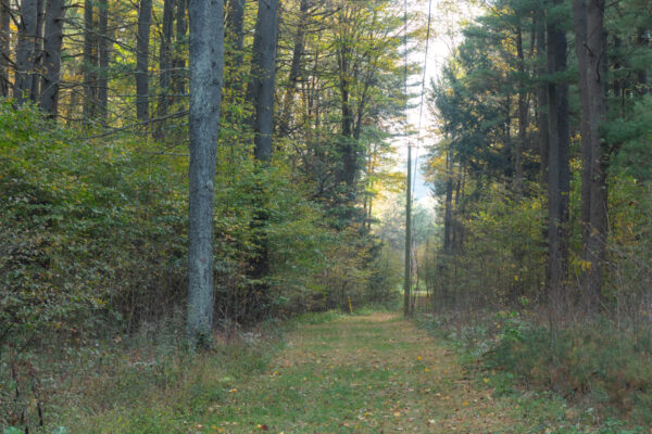
During the months when there is no snow on the ground, the Snowmobile Trail makes for an easy walk between the creek and one of the park’s roads on a 10-foot wide mowed strip of grass.
While not the most scenic trail I’ve ever hiked, there are nice views of the creek along the way, and I enjoyed the flat and easy walk.
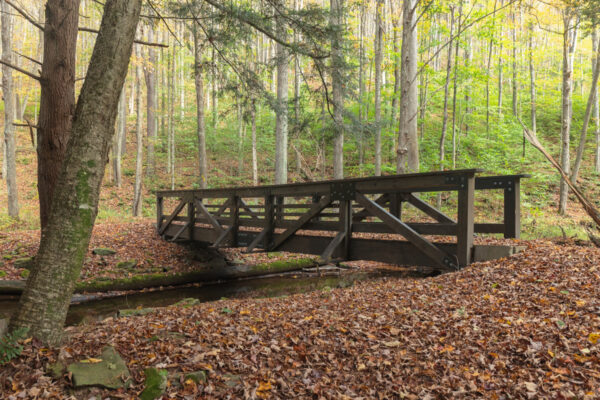
After about 3/4 of a mile, the Snowmobile Trail comes to a bridge over the creek and the start of the Bottomlands Trail. However, I opted to walk a short distance further on the Snowmobile Trail to check out the park’s CCC plaque.
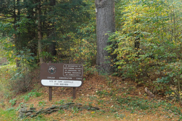
This sign honors the workers of the Civilian Conservation Corps who built much of the park’s infrastructure in the 1930s (as well as much of the infrastructure in other nearby parks) and is located where one of their camps once stood. These plaques are relatively common throughout the state, but are always interesting to see.
After seeing the sign, I traced my steps back to the bridge over the East Branch of Cowling Run and headed downstream along the Bottomlands Trail.
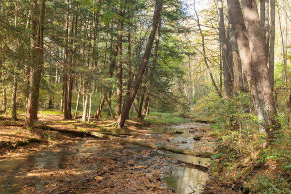
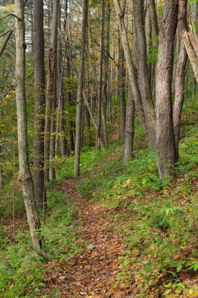
The Bottomlands Trail is strikingly beautiful and it follows closely along the creek. It’s relatively flat, though there is one small hill, and is overall an easy hike.
Yellow blazes can be found sporadically along the trail, but they aren’t really needed since you just follow the fairly-obvious path along the creek, and there are no turn-offs along this section of the trail.
It’s worth noting, however, that during my mid-October visit, the trail was a bit overgrown, which did take away somewhat from the hike. Because of this, make sure to wear bug spray when hiking the trail.
For me, the trail being a bit overgrown was really the only negative here, and I had a great time hiking it. I know I’d love to go back and hike more of the park’s trails on a future visit.
Overall, Sizerville State Park isn’t one of PA’s must see state parks. However, if you’re exploring this part of the Pennsylvania Wilds and are looking for a peaceful spot for a short hike or a campground to stay the night, this is definitely a nice spot to visit.
For more information and a park map, visit the website for Sizerville State Park.
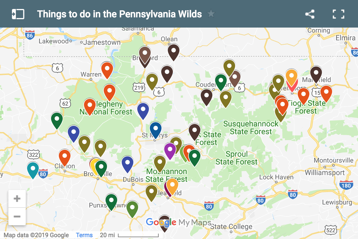
Looking for more to do in the area? Check out the Ruins of Austin Dam, Wykoff Run Falls, and The Little Museum.
[Click here for information on how to use the coordinates in this article to find your destination.]
 "
"