
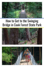
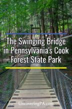
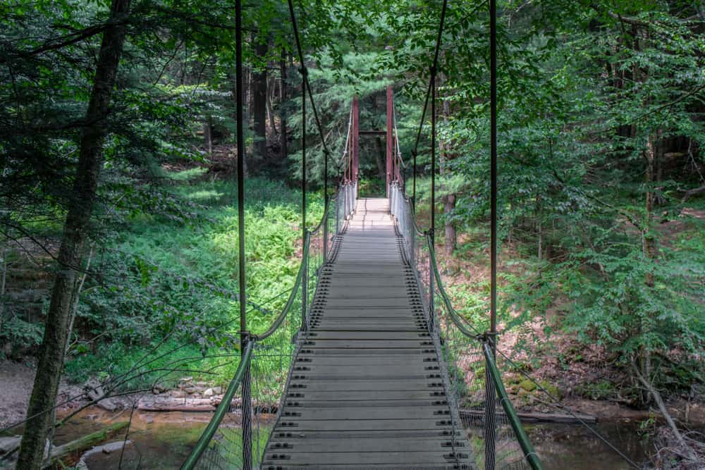
Did you know that there’s a Swinging Bridge in Cook Forest State Park? Despite this feature appearing on the map, it seems that many people aren’t aware of this since it’s a bit off of the beaten path. Because of this, I figured I’d give you some directions to this beautiful spot.
Cook Forest State Park is one of the most beautiful parks in Pennsylvania and is located primarily in Clarion County, Pennsylvania, as well as in Jefferson County and Forest County.
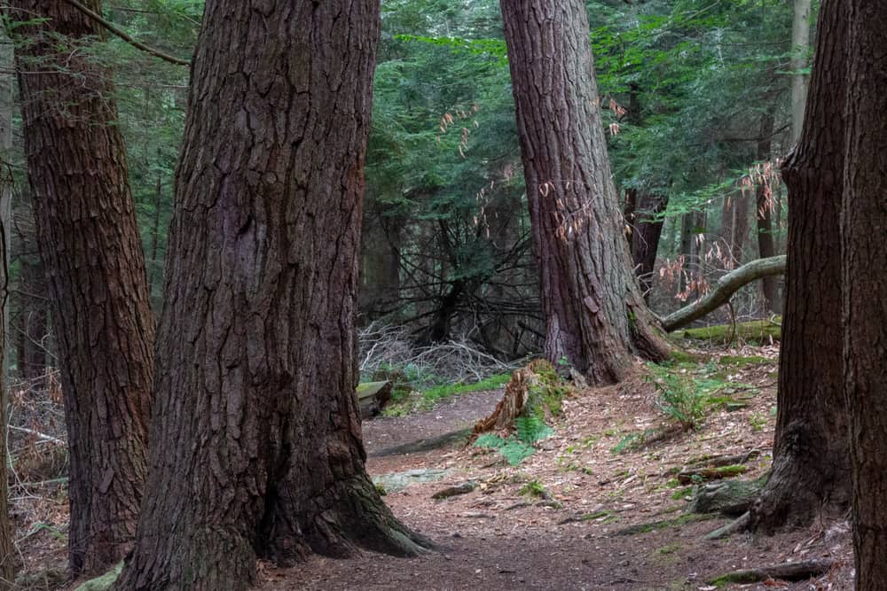
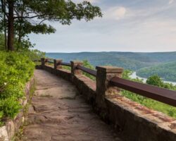
While the park features a beautiful fire tower and even a historic waterfall, it is best known for the Forest Cathedral, the largest old-growth forest in Pennsylvania, which is home to some of the state’s tallest and largest trees. The swinging bridge in Cook Forest State Park is located within this beautiful area.
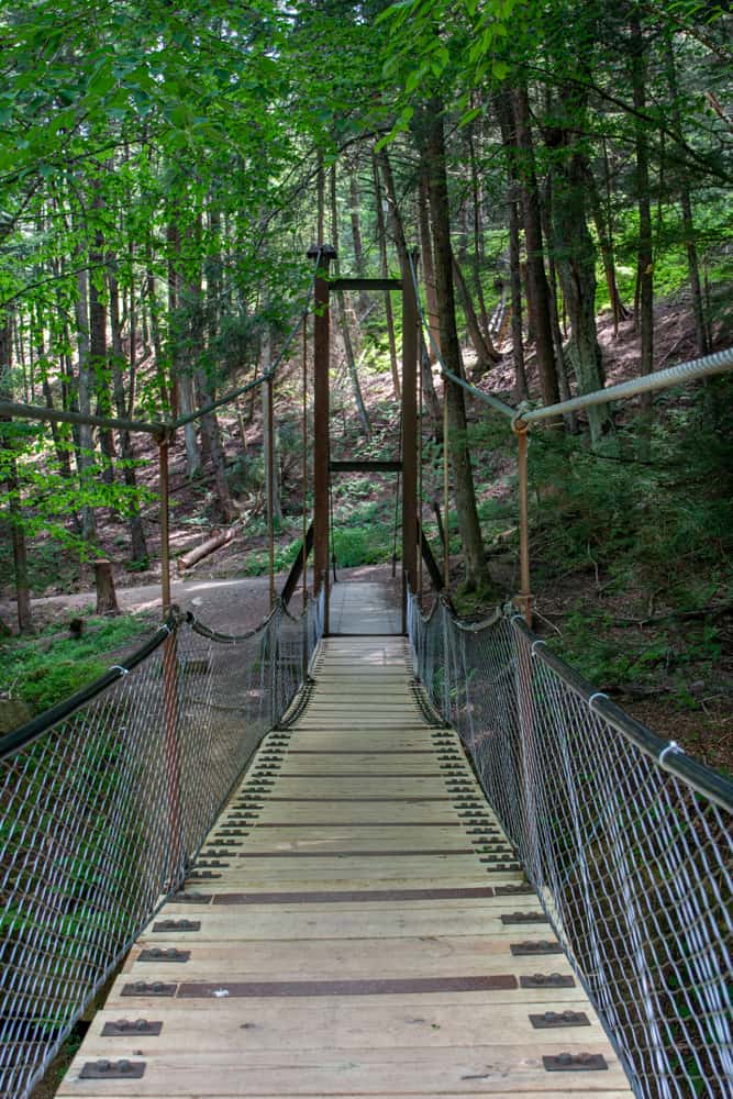
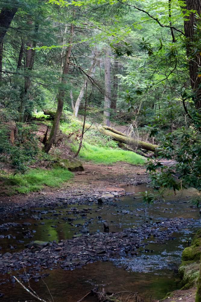
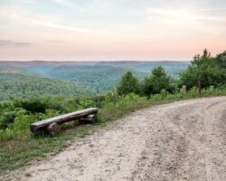
Cook Forest’s swinging bridge is located a short distance north of the park office and crosses Toms Run. It can be reached from a variety of trails, with the interlinking trails here perfect for a variety of loop hikes.
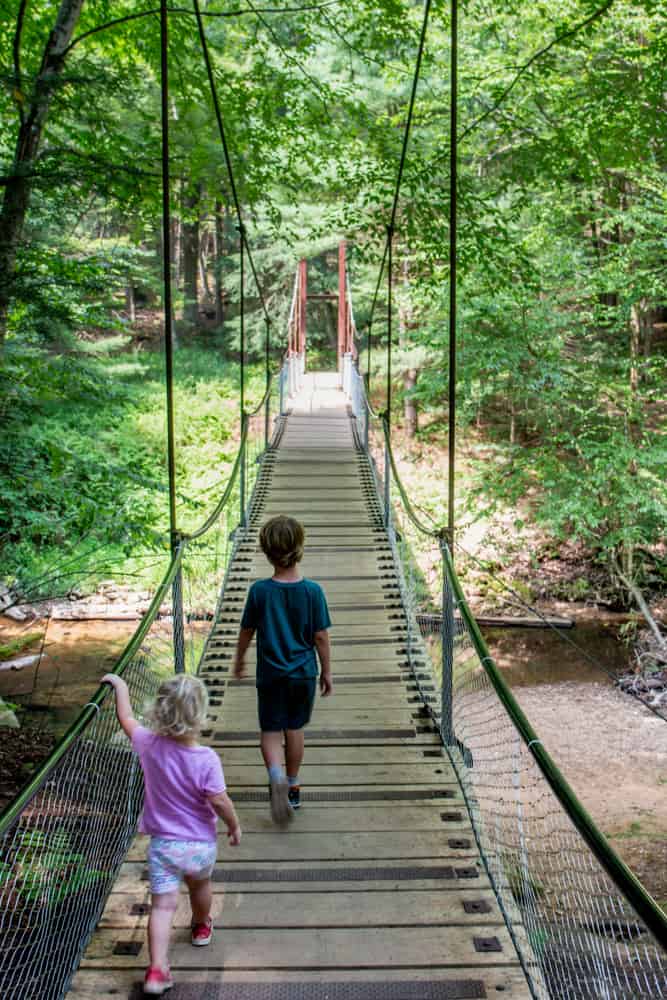
This bridge is also a ton of fun to cross. It really does swing back and forth when you walk across. For even more adventure, have someone jump or sway the bridge as you walk across it.
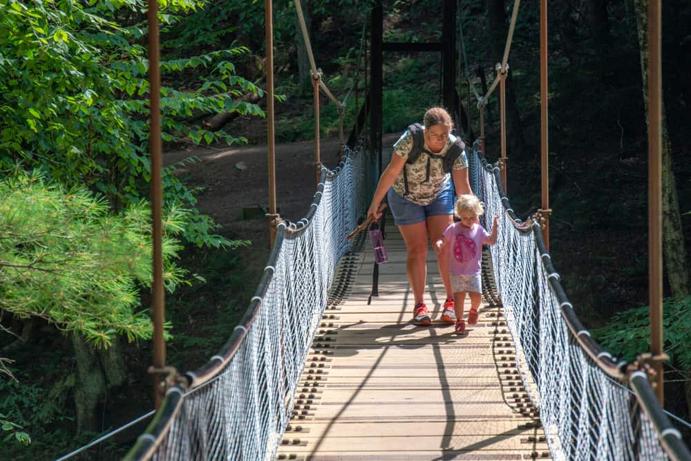
However, do be a bit weary of the sides. While there is a metal mesh that does a good job keeping you safe, younger kids could definitely slip through this space if they weren’t careful near the edge of the bridge.
So, if you are hiking with young kids, definitely keep their safety in mind while crossing the bridge.
How to Get to Cook Forests’ Swinging Bridge
The swinging bridge can be found on the map for Cook Forest State Park and is located at the following coordinates: 41.335336, -79.211131.
The fastest way to the bridge starts from the parking lot adjacent to the park office. This spot can be found at the following coordinates: 41.333350, -79.209903.
From here, look for the Birch Trail, which is located near the road. Follow this trail as it travels between the stream and road for about a quarter-mile until you reach the swinging bridge.

Once you’ve enjoyed the bridge, you can retrace your steps back to your car.
You can also cross the swinging bridge and turn right onto the Rhododendron Trail. This trail ends near the park’s Indian Cabins in about two-tenths of a mile. Once you get to the cabins, follow the quiet road back to the park office.
The second way to get there is on a longer hike through the Forest Cathedral, which is my preferred way since it lets you see the giant trees this park is best known for. This hike is about 2.25 miles long.
Start at the Log Cabin Environmental Learning Center at the following coordinates: 41.346447, -79.218382.
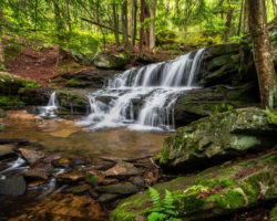
Follow the Longfellow Trail, a 1.2-mile trail that is a bit steep in spots but is generally relatively easy. This trail passes through the heart of the Forest Cathedral and some of the trees here are massive relative to what you usually find in Pennsylvania.
The Longfellow Trail ends near Toms Run at the Toms Run Trail. Turn left and follow the Toms Run Trail for approximately a quarter-mile until you reach the swinging bridge.
You could cross the bridge and turn right on the Birch Trail to make a loop, but this trail is very narrow and a bit eroded upstream of the swinging bridge, so I’d recommend just retracing your steps on the Toms Run Trail and following it the 0.8 miles back to your car.
The final place to park for the swinging bridge is a small lot along Forest Road that also serves as a trailhead for the North Country Scenic Trail. This lot can accommodate only 2-3 cars and can be found at the following coordinates: 41.337898, -79.214060.
From here, you can follow the Birch Trail to the right for about a quarter-mile to the swinging bridge. The main problem with parking here is that this forces you to hike on the narrow and somewhat eroded portions of the Birch Trail.

Because of this, I wouldn’t recommend this as the best spot to park, but I have included it because it’s one of the shorter options to reach the bridge.
Truthfully though, no matter how you reach the swinging bridge in Cook Forest State Park, you are sure to have a fun visit to this unique attraction in the heart of the park.
Definitely add this spot to your must-see list when exploring the Pennsylvania Wilds. And, if you love these types of bridges, check out the nearby swinging bridge on the Little Toby Creek Trail and my list of the best swinging bridges in PA.
Looking for more things to do in the area? Check out the Paved Trail, Beartown Rocks, and the trails in Clear Creek State Park.
[Click here for information on how to use coordinates to find your destination.]
 "
"


My husband and myself worked at Cooks Forest when we were young. Beautiful
Our family has visited Cooks Forest for 25+ years. In the early years it was our yearly, weekly vacation spot. My father’s goal was to walk every trail — and he did. Never gets old.
You people need to give directions not coordinates’
Coordinates are much better than directions. Copy/paste them into your phone’s map, and it’ll take you right there from wherever you are. Directions only lead you from one specific spot. However, if you need directions, the swinging bridge is on the Cook Forest map or you could stop in the park office for directions.