While I enjoy riding my bicycle along Pennsylvania’s many great rail trails, I’m always especially on the lookout for rail trails that offer great spots to check out along the way. One destination is the swinging bridge along the Little Toby Creek Rail Trail in the Pennsylvania Wilds.
Officially known as the Clarion-Little Toby Creek Trail, this rail trail stretches a little over 18 miles from Brockway in Jefferson County to Ridgway in Elk County. Along the way, it meanders along the Little Toby Creek and the Clarion River, offering incredible scenery from the trail.
This rail trail was originally part of the Ridgway and Clearfield branch of the Pennsylvania Railroad, and trains first rode through here in the mid-1880s. However, these two waterways were used for decades before that as routes for cut timber to be floated downriver towards Pittsburgh and beyond.
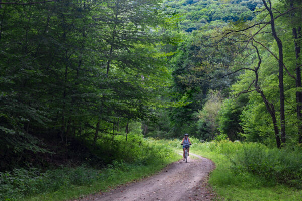
The railroad operated along the corridor until 1968. Years later, the idea of turning the grade into a trail for bicycles and pedestrians came to fruition when the rail trail opened to the public in 1992.
Today, the Clarion-Little Toby Creek Trail passes through a very remote section of state game lands deep in the Pennsylvania Wilds. The surface is composed of packed gravel and is well-maintained (aside from a strip of grass separating the two tracks of the trail in some places.
While this rail trail features a lot of beautiful scenery and tons of history, the spot that I most wanted to see was the swinging bridge over Little Toby Creek.
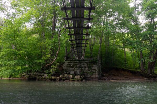
According to the information I was able to find, this swinging bridge was originally built in the early 1990s, around the same time the rail trail opened. And, while it’s not overly historic, the bridge does span two old piers that once carried a more traditional bridge over the creek.
This swinging bridge is not part of the rail trail, (so you won’t have to bike over it) but is easily accessible as it sits only a couple of hundred feet off of the trail. It can be found just under six miles from the Brockway trailhead. However, for those looking for a faster trip, there are parking areas that can cut this down to a little as 3.5 miles for a one-way trip.
When I visited, I opted to park in the closest parking area to the swinging bridge, a small state game lands parking area along 7th Avenue Extended just outside of Brockway, Pennsylvania.
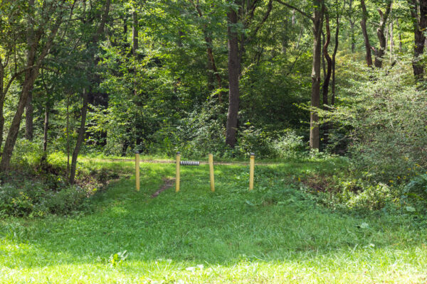
This parking area can be found at the following coordinates: 41.278084, -78.817177.

"Waterfalls of Pennsylvania" by Jim Cheney
If you love PA waterfalls, you won't want to miss this waterfall book from Jim Cheney, author of Uncovering PA, featuring more than 180 great waterfalls. Order it now on Bookshop.org or Amazon.
On the other hand, if you’d rather park in Brockway and bike a bit further, there is a large lot on the edge of town at the following coordinates: 41.252414, -78.794373.
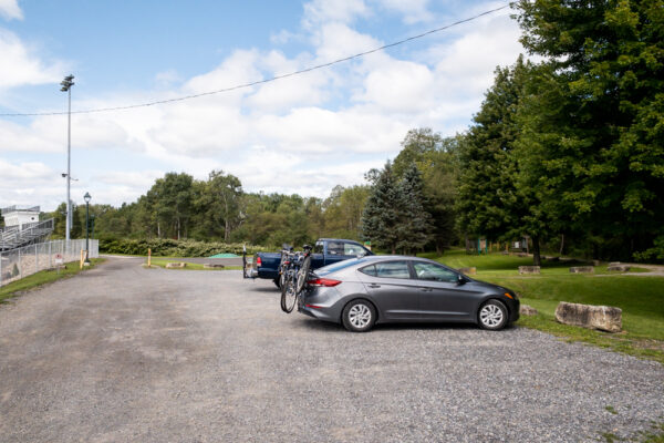
From either parking lot, the rail trail is just steps away and is quite easy to access. While it would be possible to walk to the swinging bridge, you would have to do a walk of at least 7 miles, so a bicycle is definitely the best way to go.
If you park where I did, at the state game lands lot, hop on the trail and head to the right to follow the Little Toby Creek downstream. The rail trail here passes through a beautiful forest and past several charming cabins in the woods on its 3.5-mile journey to the swinging bridge.
Along the way, you’ll pass several signs that denote historic Pennsylvania ghost towns. Unfortunately, other than the signage and a few bridge piers, nothing seems to remain of these historic villages. Still, taking a minute to read the signs offers a nice look into the history of the region.
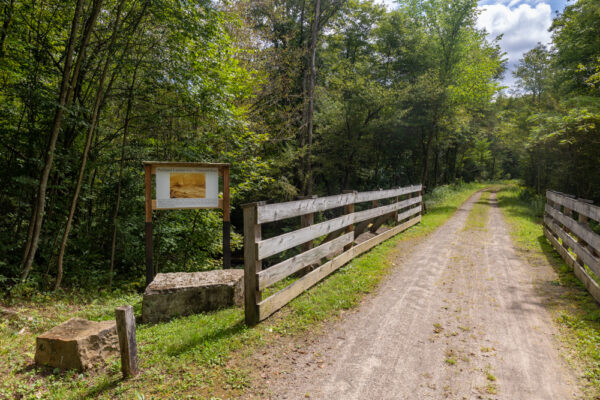
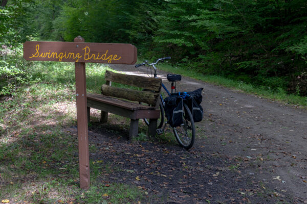
About a mile after you cross over Vineyard Run, you should see a wooden sign on the left side of the trail that simply reads “Swinging Bridge”. Since you can’t see the bridge from the trail, it’s great that they put a sign and a bench at this spot.
The swinging bridge sits maybe 150 feet off of the rail trail down a somewhat rugged but easy-to-follow trail. The bridge is roughly 100 feet long and connects two historic bridge piers that once likely held a much more sizeable bridge.
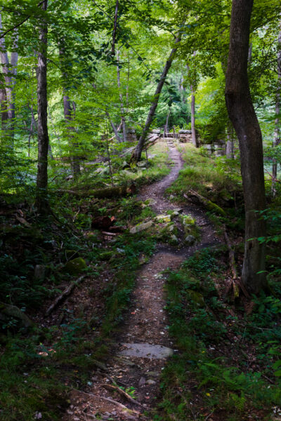
For those that use coordinates, you can find the swinging bridge here: 41.315286, -78.839715.
To be honest, while I had seen photos of the swinging bridge before visiting, I was a bit surprised by how precarious it seemed in person.
This isn’t due to poor construction (the wood and steel of the bridge seemed to be in excellent shape). Instead, it’s due to the open nature of the bridge and how low the handrails are.
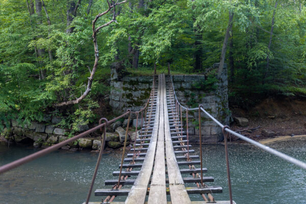
While many swinging bridges that I’ve visited in the past, such as the swinging bridge in Cook Forest State Park, are somewhat enclosed and seem fairly safe, this bridge is very open.
The swinging bridge is constructed of three wooden planks running the length of the bridge, with gaps between each. Every few feet, a perpendicular board adds additional support.
Only a few feet above the boards, a single steel cable runs on both sides of the bridge for stability and is connected to the wood below. However, if you are tall like me, you’ll have to crouch down a bit to hold onto this railing, especially near the ends of the bridge.
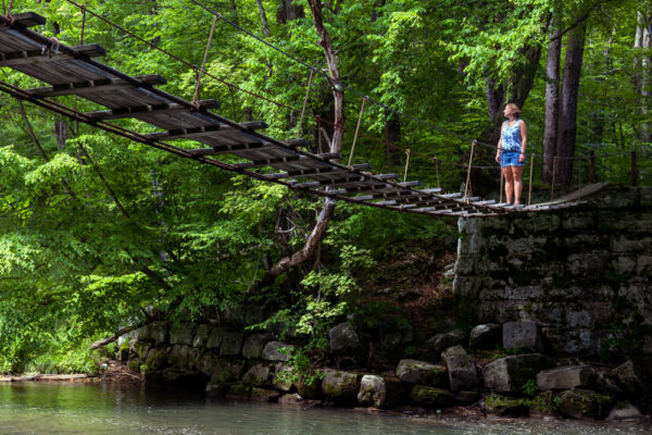
Another aspect that makes this bridge feel precarious is that it sits probably 15 feet over the creek below, which feels quite high when you are out on the bridge.
That being said, even as a bit of a wimp, I found the bridge to be pretty stable once I got the courage to go out on it. However, those that are afraid of heights might struggle a bit with this spot.
It’s also worth noting that I was very glad that we had done this trip without my young children as I would not have personally felt comfortable with them walking across this bridge.
If you do get the courage to cross the bridge (which you should as it’s really fun), you’ll find a somewhat overgrown picnic area on the far side. There also seems to be some user-created trails that head off into the woods and toward a nearby active railroad track. I didn’t have a chance to take the trails on this trip.
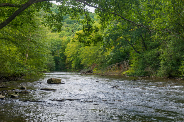
Once you’ve enjoyed the bridge, make sure to take a second to check out the bridge from below, which is quite a neat scene in its own right. In fact, on the day that I visited, the lush green made me feel like I was deep in the jungle.
After you’ve had fun exploring the swinging bridge on the Little Toby Creek Trail, you have two options.
The trail continues beyond the swinging bridge for another four miles before it meets the Clarion River and another 12 miles until it reaches Ridgway, PA. Along the way, the trail’s map indicates that there are several other ghost towns, though my understanding is that, like the several that you’ll pass on the way to the swinging bridge, there isn’t really anything to see in these spots.
Instead of continuing, however, I opted to hop back on my bike and head back to the parking area. This created a nice seven-mile bike ride that was very enjoyable (The ride would be about 12 miles if you parked in the main lot in Brockway.)
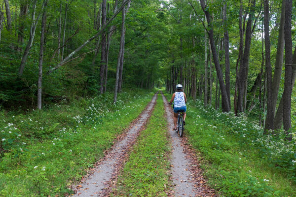
It’s worth noting that the return trip has a slight uphill grade. However, even despite not having biked much in the last few years, the grade was slight enough that it posed no issues.
Overall, while I’ve ridden other rail trail with better-maintained surfaces, the Great Allegheny Passage and the Pine Creek Rail Trail to name two, the surface here was in good shape despite some recent rain and made for easy biking on my hybrid bicycle.
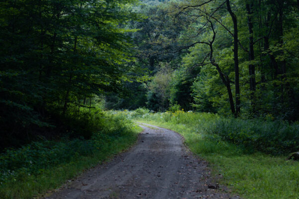
Even better, in addition to being a pleasant bike ride through a beautiful woodland, this trail had some interesting historic signs to read, and the swinging bridge made for a fantastic stop along the route. In fact, I’d ride the trail again solely to spend more time at this unique bridge.
So, the next time you are looking for a fun destination for a bit of bicycle riding in the Pennsylvania Wilds, I definitely recommend checking out the Clarion-Little Toby Creek Trail.
Note that this trail is almost entirely on state game lands. Wearing orange during hunting season is highly encouraged and electronic bikes are not allowed on the trail.
Looking for even more things to do nearby? Check out Cook Forest State Park, Beartown Rocks, and Straub Brewery.
[Click here for information on how to use coordinates to find your destination.]



 "
"


surprised to see that you have written about little toby creek. born there 90 yrs ago. know the area well.