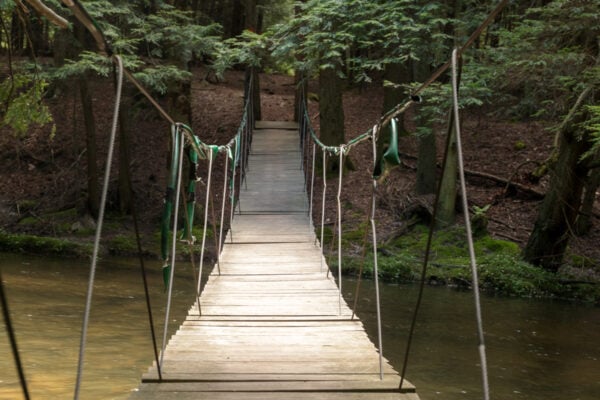
The swinging bridge on the John P. Saylor Memorial Trail in Somerset County’s Gallitzin State Forest is a really fun hiking destination, and I was excited when I finally had a chance to visit it a few months ago.
This suspension bridge crosses Clear Shade Creek and is on the edge of the Clear Shade Wild Area. It can be found along a short trail that connects to two loops of the John P. Saylor Memorial Trail to each other.
While you could certainly visit this trail while doing a longer hike, I hiked the shortest route to the bridge (which is less than half a mile one-way), and that’s what I’ll largely be describing here.
For those looking for a longer hike, you can use this guide to start a 5.5 mile hike on the shorter loop of the Saylor Trail or even to do the longer 12-mile loop or the combined 17-mile hike on both.
Whatever you choose, the hike to the swinging bridge is definitely worth doing.
(If you like bridges that sway, check out my favorite swinging bridges around PA here.)
Parking for the Swinging Bridge
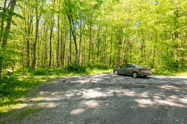
Since the longer loop of the Saylor Memorial Trail crosses several roads, there are a variety of parking spots. However, the closest to the swinging bridge and to the trail’s smaller loop can be found on Shade Road, a short distance south of Route 56 near Windber in northeastern Somerset County, PA.
There is no address for the parking area, but it can be found at the following coordinates: 40.196483, -78.738982.
For those that would rather use something else, the parking trail is on the left side of the road 1.6 miles from Route 56.
[Click here for information on how to use coordinates to find your destination.]
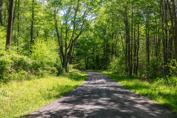
The road through Gallitzin State Forest to get to the parking area is a narrow gravel road, but in the summer of 2026, it was in excellent shape, and I had no issue getting my standard car there from Route 56.
Note that the road is not maintained in the colder months once covered with snow and ice.
Hiking to the Saylor Trail’s Swinging Bridge
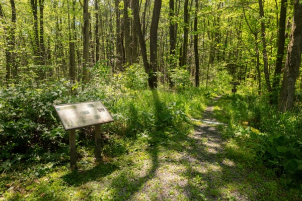
The hike to the swinging bridge along the John P. Saylor Memorial Trail isn’t overly long, about a third of a mile in total one-way, and isn’t overly difficult, though the trail does lose about 140 feet of elevation along the way to the bridge. That makes this an excellent hike for just about anyone that enjoys time in the woods.
From the parking area, look for the obvious trailhead for the Fisherman’s Path. There is a sign next to the parking lot that offers information about native insects and Beech Bark Disease. A sign denoting the Fisherman’s Path is located about 50 feet down the trail.
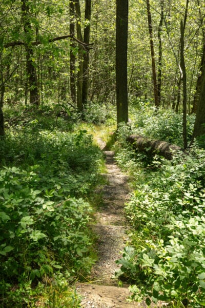
The Fisherman’s Path connects you from the road to the John P. Saylor Memorial Trail. The path starts out relatively flat, but soon starts to descend downhill. This section is short but relatively step because you go down about 140 feet in elevation over the course of less than two-tenths of a mile.
This trail was also a little overgrown in the early summer, and I noticed some poison ivy along it, so long-pants and bug spray are recommended. It’s easy to follow with yellow blazes along the trail.
Just as the Fisherman’s Path levels out, it reaches the John P. Saylor Memorial Trail.
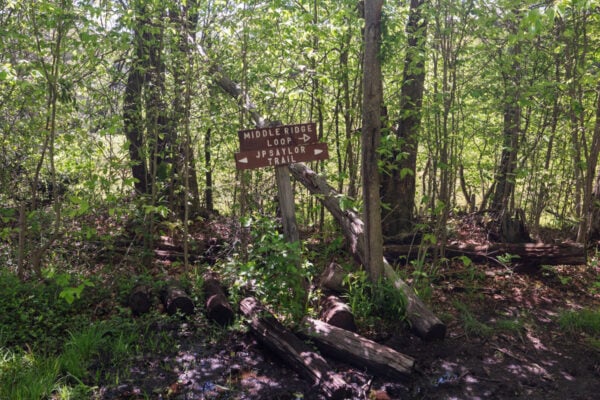
When I visited, despite not a ton of recent rain, this intersection was VERY muddy and wet. That made keeping my feet dry next to impossible.
I think this is likely a regular issue, because there was a well-worn secondary trail on the creek side of the trail that extended for just as long as the muddy portion of the main trail.
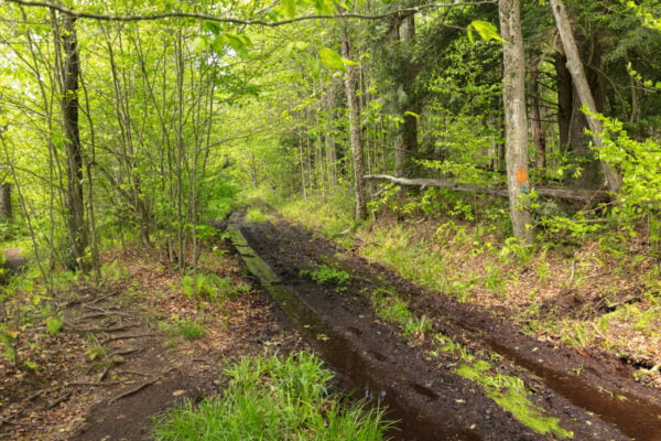
That being said, wether it’s wet or not, turn right onto the Saylor Memorial Trail, and follow it for a few hundred yards.
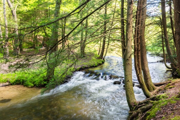
Along the way, there is a small stone dam along Clear Shade Creek which is worth a quick stop to see.
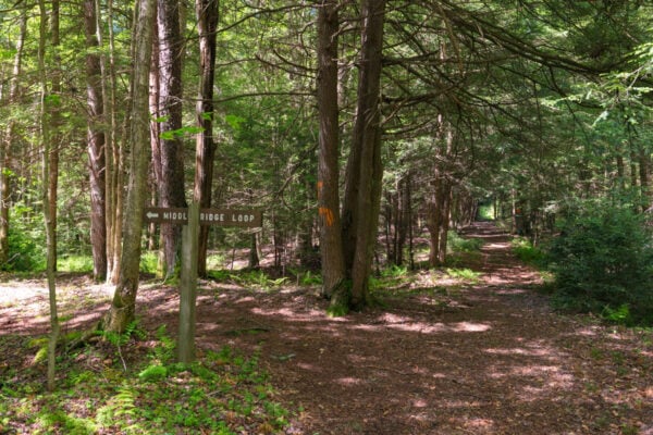
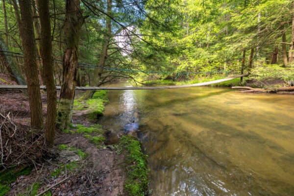
Soon enough, you’ll see a sign pointing to your left for the Middle Ridge Loop, the smaller of the two loops on the John P. Saylor Memorial Trail. Follow the sign through the open woods for less than 100 yards to the swinging bridge over Clear Shade Creek.
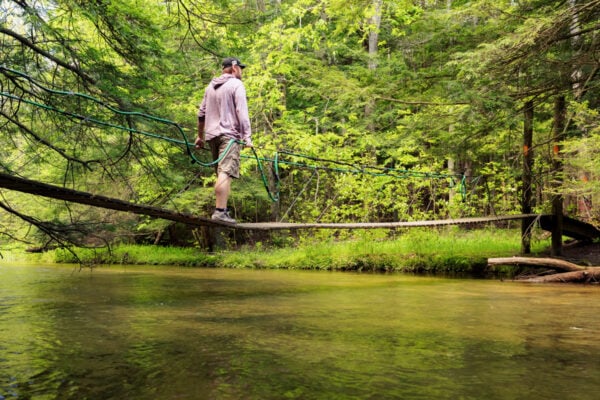
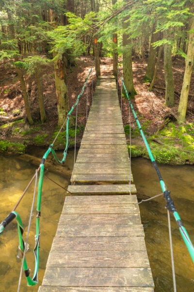
This swinging bridge is approximately 50-60 feet in length and sits roughly 3-5 feet over the water. It definitely has some very strong movement to it as you cross.
It’s worth noting that, unlike something swinging bridges that have fairly robust sides, this bridge features only one metal rope on either side of the bridge for support. That means you’ll definitely want to use caution here and watch younger children closely as they cross.
On the far side of the bridge, I also noticed a sign saying that the maximum capacity of the bridge is two people. There was no sign on the near side, so I’m not sure how necessary this is, but it’s definitely worth noting.
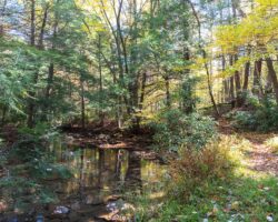
In addition to the very cool suspension bridge over Clear Shade Creek, this area is also very beautiful. I enjoyed taking a few minutes to relax along the creek while enjoying the sounds of the water as it passed by.
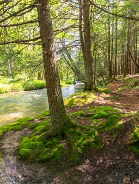
Just upstream, there is a cool area of mossy rocks with a very small waterfall around an island in the creek.
This is definitely one of the most beautiful spots I’ve found in the area around Johnstown, PA.
Once you’ve had a chance to enjoy the swinging bridge and the area around it, you could extend your hike along the five-mile loop of the John P. Saylor Memorial Trail on the far side of the creek. I didn’t do that, but you can find out a bit more about it here.
Otherwise, or after your extended hike, you’ll simply want to retrace your steps back to your car.
It’s worth noting that there is no sign denoting the turnoff for the Fisherman’s Path on your return trip. However, it isn’t too hard to find because it’s the first trail turn off (I believe), and there is also a sign for the Saylor Memorial Trail that you can simply look for.
Overall, while the hike itself isn’t necessarily among my favorites, the fun of the swinging bridge along the John P Saylor Memorial Trail and the beauty of the area along the creek makes this a fantastic way to spend a bit of time in the woods.
This is definitely somewhere I’ll visit any in the future.
Find a map of the John P. Saylor Memorial Trail here.
Looking for more things to do nearby? Check out the Johnstown Inclined Plane, the Covered Bridges of Somerset County, Yoder Falls, and Gravity Hill in Bedford County.
 "