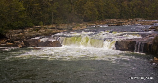
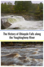
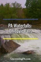
Over a quarter-million people visit Ohiopyle State Park each year. And, whether they are hiking, biking, or white water rafting, nearly all of them take a minute to visit Ohiopyle Falls along the Youghiogheny River.
This waterfall spans the entire length of this impressive river and drops nearly 20 feet as the Youghiogheny makes its way towards the white water that has made the Ohiopyle white water rafting trips so popular.
However, while many see the river, few know its history and how Ohiopyle Falls might be responsible for the American Revolution and our split from the British.
Native tribes settled in the area around the same time that Europeans arrived in the Americas. The first tribe to settle the area were the Monongahela Tribe. Later, as more Europeans started to settle on the US east coast, the native tribes moved west.
In fact, the name Ohiopyle comes from the Lenape language (a tribe more associated with the Philadelphia suburbs). Their name for the area was “ahi opihəle” which means “it turns very white,” referring to the falls and the white water in the area.
Fast forward to 1754, when a young British colonel by the name of George Washington was scouting western Pennsylvania, trying to find a water route to the Forks of the Ohio (known today as Pittsburgh).
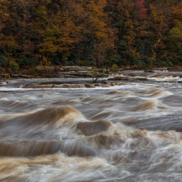
As Washington’s troops made their way west, they had to create a road wide enough for their wagons. This road is now known as Route 40, which runs just to the south of Ohiopyle State Park. When Washington got to the area, he wanted to take boats up the Youghiogheny River, but upon seeing Ohiopyle Falls, thought better of it.
Undaunted, Washington and his troops continued their search for a water route west. Just a few miles west of the Youghiogheny, they came across a small band of French troops. Washington and the British troops he was commanding attacked the French.
While it might have seemed like a minor skirmish at the time, this battle led directly to Washington’s loss a month later at Fort Necessity, and turned out to be the first shots of the French and Indian War. This war, known as the 7 Years’ War in Europe, eventually became the first worldwide war, and it was the taxes passed to pay for this war that led to colonial unrest and, eventually, the American Revolution.
So, the next time you are looking at Ohiopyle Falls in Ohiopyle State Park, think about its place in history. After all, it’s entirely possible that, without the presence of Ohiopyle Falls, the story of America could be very, very different. We might not have even heard of that young British colonel that led his troops west to Ohiopyle all those years ago.

"Waterfalls of Pennsylvania" by Jim Cheney
If you love PA waterfalls, you won't want to miss this waterfall book from Jim Cheney, author of Uncovering PA, featuring more than 180 great waterfalls. Order it now on Bookshop.org or Amazon.
How to Get to Ohiopyle Falls

Ohiopyle Falls is located in the middle of Ohiopyle State Park and in the small borough of Ohiopyle. The area around the waterfall is a nice park complete with a brand-new visitor center that’s worth checking out.
On the parking lot side of the falls, there is a nice viewing area over the Youghiogheny River that allows you to easily see Ohiopyle Falls just steps from your car.
There is also a trail that will allow you to view Ohiopyle Falls from the other side of the river. This side offers great views of Ohiopyle Falls and is worth exploring if you have the time.
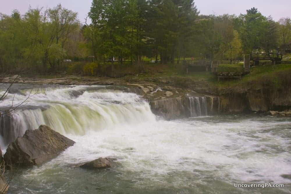
To get to the far side of Ohiopyle Falls, head upstream from the waterfall to the pedestrian bridge over the Youghiogheny River. Once you cross the river, head back downstream using the trails in the Ferncliff Natural Area.
Make sure to use caution near the river, as there is no barrier here to keep you from getting swept into the very dangerous Youghiogheny.
Once you finish checking out Ohiopyle Falls, consider visiting some of the other waterfalls in Ohiopyle State Park, such as Cucumber Falls and Jonathan Run Falls.
And for even more waterfalls, check out of page full of tons of great waterfalls in Pennsylvania.


 "
"



I don’t have gps. I would appreciate “real” driving directions to the bridges, etc. : ) Is there another source for directions. I like your layout for the covered bridges tour.
You can copy/paste the coordinates into Google Maps or another online mapping service and get directions to print out. That’s definitely the easiest way to do it. Conversely, if you have a smartphone, you have a GPS built in where you can copy the coordinates in to.
Hi Jim, Do you its safe to go with a 4 year old there?
Absolutely, especially if you stay on the main side of the falls. There is a metal fence along the entire area near the waterfall.