This article is part two in a three-part guide to biking the Great Allegheny Passage. Read Part One: Pittsburgh to Connellsville and Part Three: Confluence to Cumberland. If you’re planning your trip on the trail, don’t miss my top tips for those biking the GAP.
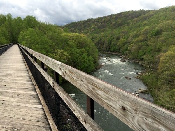
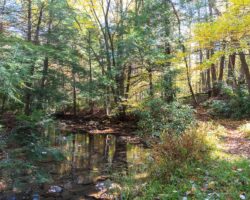
In my opinion, the 28 miles between Connellsville and Confluence are the most beautiful along the entire Great Allegheny Passage. Trees tower over the trail and waterfalls rush down the hillsides as you bike along the banks of the Youghiogheny River in Pennsylvania’s Laurel Highlands.
Completing this section of the trail can very easily be done in a day. However, this is the jewel of this PA rail trail, and it is well worth taking your time when completing this portion of the trail. There are more than enough waterfalls and hiking trails in and around Ohiopyle State Park to keep you busy for several days.
With Ohiopyle located at roughly the halfway point of the trail, 77 miles from Pittsburgh, it also makes a logical spot to take a break halfway through the trail and rest sore bodies.
In case you missed the previous installment from Pittsburgh to Connellsville, let me give you a short recap. This guide is being written as if you were biking from Pittsburgh to Cumberland, Maryland. However, it works just as well in the opposite direction, with the recommended stops being the same.
If you are planning to overnight in Connellsville, I recommend the Connellsville Bed and Breakfast. They were nice enough to host me during my stay and offer a great place to rest for the evening. Connellsville is also home to an Amtrak station, which allows for quick access via rail to Pittsburgh, Cumberland, and beyond. Read other reviews of this B&B on TripAdvisor.
Now on to this edition’s guide from Connellsville to Confluence.
While the path from Connellsville to Ohiopyle is a fairly pleasant and flat ride, there is a decent uphill as you are leaving Connellsville to contend with. (If you happen to be heading the opposite direction, this will be a fun downhill into Connellsville. In fact, it’s probably the most fun section of trail on the entire GAP.)
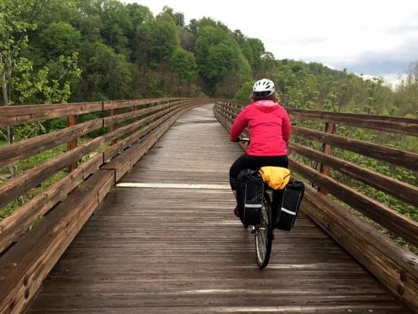
Once at the top of the hill, you leave the pavement behind for the short 18-mile trip to Ohiopyle. Shortly after leaving the town, you’ll come to the first viaduct on your journey south. As you ride across the viaduct, consider that the entire area below you was once filled with factories that supplied the steel mills in Pittsburgh.
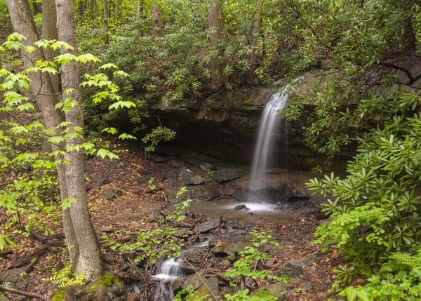
Less than a mile after the viaduct, between miles 84 and 85, you’ll come to the first of many waterfalls along this stretch of trail. Since this waterfall and the stream have no name, I’ve dubbed it Great Passage Falls since it’s the most impressive waterfall that sits directly along the trail.

"Waterfalls of Pennsylvania" by Jim Cheney
If you love PA waterfalls, you won't want to miss this waterfall book from Jim Cheney, author of Uncovering PA, featuring more than 180 great waterfalls. Order it now on Bookshop.org or Amazon.
Great Passage Falls is a 15-foot plunge waterfall that doesn’t seem to carry much water even when water levels are high. Should you ride during the end of the summer when things are especially dry, I can see this waterfall, and the others between Connellsville and Ohiopyle, not being very full.
This makes for a great excuse to ride during the rainy months of the year. There is a bench and small trail going down to the waterfall, and it can be easily seen from the trail.
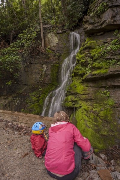
Less than half a mile further down the trail is another waterfall that’s roughly 15 feet tall. This waterfall is located directly next to the trail, and I’m confident that it runs dry during much of the year. The same can be said for a similar 20-foot waterfall between miles 81 and 82.
Around mile marker 78, you’ll enter Ohiopyle State Park. This is one of Pennsylvania’s most scenic parks and offers miles of great hiking and some amazing waterfalls. Plus Ohiopyle’s white water rafting is said to be some of the best on the east coast.
On the outskirts of the park, at mile marker 78, you’ll see Johnson Run Falls off in the woods. When full, this creek is a series of small, cascading waterfalls down the hillside, totaling probably 45-50 feet. I ventured down to a small portion of the falls near the GAP and got this shot of a 10-foot-tall waterfall on the stream.
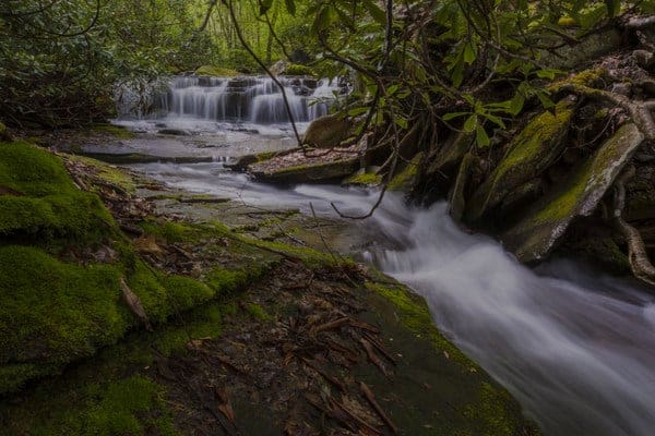
Shortly after Johnson Run, you’ll cross Bruner Road. This is a popular take-out spot for white water rafters and may be busy during the summer months. Just across the road, Bruner Run cascades down the hill in another set of beautiful waterfalls.
Just a few miles up the trail, just prior to mile marker 75, there are a couple of other waterfalls worth mentioning. First, you’ll come to a turn off at a sign that says “Mitchell Field.” Less than 100 feet up this trail is the impressive Sugar Run Falls.
A hundred yards or so further down the GAP is the turnoff for Jonathan Run Trail. This is a fantastic 1.7-mile trail that features three beautiful waterfalls and some of the most beautiful scenery you’ll see in the area. Both trailheads feature a few good places to chain a bike if you are looking for a short and beautiful hike in the area.
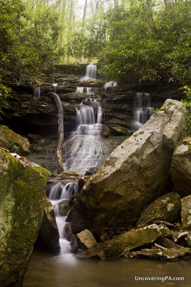
The rest of the trail into the town of Ohiopyle is no less beautiful.
Take a moment to enjoy the mile 75 sign, which indicates that you’re halfway done with the Great Allegheny Passage, and then proceed just a bit further to another roadside waterfall between mile markers 73 and 74.
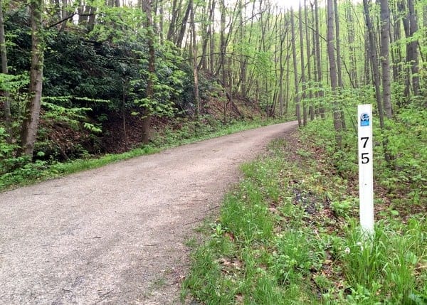
To get to the town of Ohiopyle, you’ll cross two bridges over the Youghiogheny River, both of which offer amazing views. The beautiful Ferncliff Peninsula is located between the two bridges and features several miles of great hiking trails.
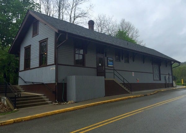
The Ohiopyle Visitor Center is located in the restored Western Maryland Railway Station that was built in 1911. This station has a bathroom, some basic bike maintenance equipment, and can provide local information. If you want detailed information about Ohiopyle State Park, take a short ride over to the visitor center on the far side of this very small and picturesque town.
The tiny borough of Ohiopyle looks like it was plucked out of Colorado and placed into Pennsylvania. Whether you stay the night here or not, the borough of Ohiopyle is the jewel of the Great Allegheny Passage, and it’s well worth stopping here for a bit for a bite to eat at one of the town’s many restaurants and to see Ohiopyle Falls, which is along the ride and less than a five-minute walk from the GAP.
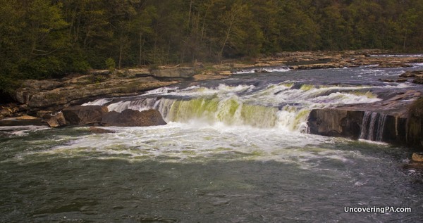
During my three visits to Ohiopyle, I’ve had a chance to eat at a few different places and enjoyed them all. The Falls Market, Ohiopyle Bakery and Sandwich Shoppe, and Falls City Pub all offer good food and are either open year-round or open very early in the season. Many other options open up later in the season, giving you more selection if you ride during the summer.
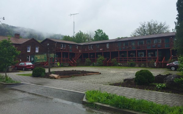
Despite being the single largest tourist destination along the GAP (outside of Pittsburgh), there is a surprising lack of accommodation options in town. During my night in Ohiopyle, I was hosted by The Yough Plaza Motel. While it isn’t a high-end hotel, it was clean, comfortable, and located within a few hundred yards of the trail and restaurants. You can see what other people thought about it on TripAdvisor.
There is also a campground at Ohiopyle State Park, but it requires a steep hike or bike ride to reach from the GAP trail.
Ohiopyle State Park is a destination that you could easily spend several days in if you have the time. The park’s main waterfalls are almost all accessible by bike or foot from the town, and there are several white water rafting companies located in the town that can take you down the river. If you need suggestions of things to do in Ohiopyle, the new state park visitor center is full of great information.
Ohiopyle is also just a few miles away from Fallingwater, one of Pennsylvania’s biggest tourist draws, and Kentuck Knob.
Until recently, there wasn’t an easy way to get to these great sites, but recently, local company Wilderness Voyageurs has begun offering shuttles for bikers wanting to visit them. If you have the time, it is well worth taking the time to visit these amazing structures.
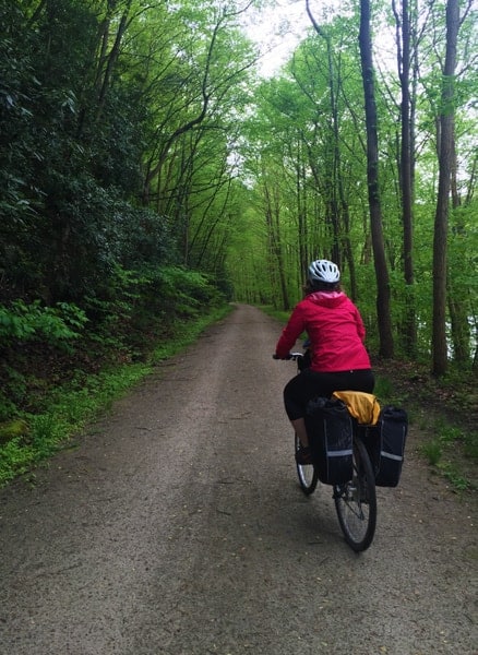
Continuing back on the trail, it’s roughly 11 miles from Ohiopyle to Confluence. As with the previous stretches, there are few amenities between the towns. So, while the distance isn’t far, make sure you plan ahead.
The trail to Confluence follows closely along the banks of the Youghiogheny River and 9 of the next 11 miles, until you reach the Ramcat Launch Area, are located in Ohiopyle State Park. This portion of the trail is very beautiful and a joy to ride. However, there is little of specific note along this stretch of the trail other than its incredible beauty.
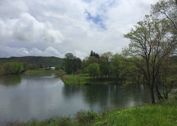
Confluence, as the name implies, is the meeting point of three bodies of water: the Youghiogheny River, the Casselman River, and Laurel Hill Creek. This beautiful setting can be best appreciated from a small overlook along the Great Allegheny Passage just prior to entering town.
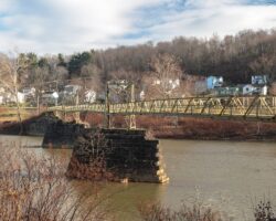
Most of the guesthouses and bed and breakfasts in Confluence are located on a peninsula between the rivers, while the business district with most of the restaurants and the bike shop is located on the far side of the rivers. To get across the rivers, you can take the regular bridge for Route 281 or you can cross the two bridges in town that are for pedestrians and bicycles only.
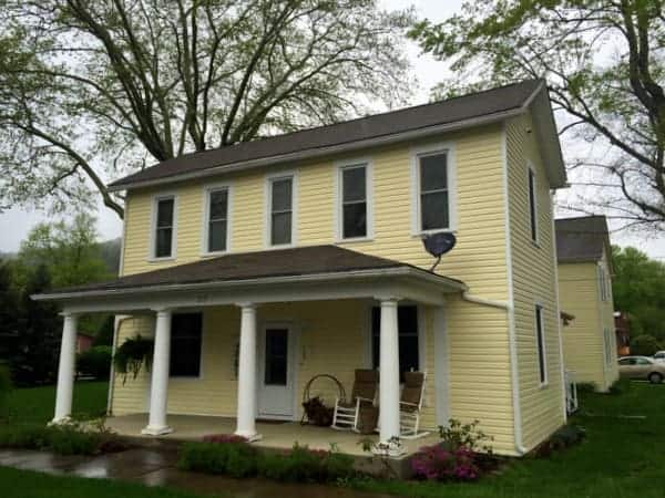
During my time in Confluence, I was invited to stay at the Parker House, which is a large house with multiple bedrooms, common spaces, and a kitchen, but does not provide breakfast. However, if you’re looking for a beautiful place to relax and spread out a bit, this is a great choice and is located within a very short walk or bike ride from the GAP and the town’s dining options.
You can read other reviews of the Parker House on TripAdvisor.
There are a good number of places to eat in Confluence during the summer months, but the options are somewhat limited during the beginning and end of the season.
During my stay, I had dinner at The Outflow, an ice cream place with good food. However, given that it’s a bit outside of town and up a big hill, it can be hard to reach for bikers. If you’re in a pinch, I’ve been told that the town’s grocery store has a good selection of food. For breakfast, Sisters’ Cafe offers good food at a good price.
If you’re looking for things to do in Confluence, check out the Turkeyfoot Area Historical Society or the nearby Youghiogheny River Lake (Home to the Great Crossings Bridge ruins when water levels are super low.)
From Confluence, you are 62 miles from Cumberland, Maryland, and the end of the GAP. Our next guide covers that distance and the communities of Rockwood, Myersdale, and Cumberland, Maryland. If you’re riding in the opposite direction or missed the first part of this series, check out my article about biking the Great Allegheny Passage from Pittsburgh to Connellsville. And, if this is your first time riding the trail, don’t miss my top tips for biking the GAP.
Note: As mentioned in the article, the lodging options listed were gracious enough to offer me complimentary stays during my time riding the GAP

 "
"


Hello Jim I am enjoying reading about your trip. I have been trying to get my 16year old son to commit to doing this trip with me. We go to Ohiopyle one or two times a year. We are actually going there on Memorial Day , possibly riding from Ohiopyle to Confluence and back. Maybe this will convince him to want to do the complete trip. Looking forward to part three.
Good luck convincing him. It’s a great ride.
The bridge in Ohiopyle is on Route 381 not 281.
Route 381 is in Ohiopyle, but I referenced the Route 281 bridge in Confluence.
Where can I safely park my car in Connellsville?
The GAP’s website shows parking for the trail next to Yough River Park. If you want to inquire about the safety of parking here, it’s probably best to contact the Connellsville Police Department.
What milemarker has the best Vista scenery?
There aren’t any great vistas that I can recall along this section of the trail. The best ones are closer to the PA/MD border.
Hi Jim,
Just wanted to say Thank You for the great GAP bike guide. My wife and I used it for two rides centered on Ohiopyle and your insights were very valuable…
Hi Jim!
Thank you for the great guidebook! If I want to shuttle back to Pittsburgh from Confluence, do you have any suggestions who to contact to make arrangements?
Thank you!
Myra