I’ve visited over 200 different waterfalls in PA (and even wrote a book featuring over 180 of the best Pennsylvania waterfalls), but it wasn’t until recently that I found out about Little Falls in Promised Land State Park.
Promised Land State Park is a 3,000-acre park located in Pike County in the Pocono Mountains and was the fourth state park created in Pennsylvania. The park is probably best known for its two large lakes but also features 50 miles of hiking trails (some of which also go into the surrounding Delaware State Forest).
The Little Falls Trail is one of these trails and is located on the western end of the park. The trail follows the path of the East Branch of the Wallenpaupack Creek, the outflow for the park’s two lakes.
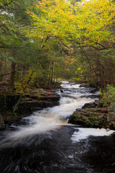
This one-mile trail starts near the dam on Lower Lake and follows the creek downstream for about half a mile before returning on the far side. Along the way, it passes several small waterfalls and reaches the 10-foot Little Falls at the furthest point from the parking area.
This is definitely a great trail to hike, and here’s everything you need to know to do it.
Where to Park for the Little Falls Trail
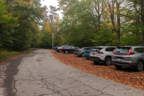
The closest parking for the Little Falls Trail is a dirt parking area directly across Lower Lake Road from the trailhead. This spot can be found just north of the dam at the following coordinates: 41.314190, -75.235321.
This parking area is large enough for 12-15 vehicles, so you shouldn’t have much trouble parking here most days. However, if you do have trouble finding parking, there is another parking area a short distance up the road on the right opposite the Lower Lake Campground.
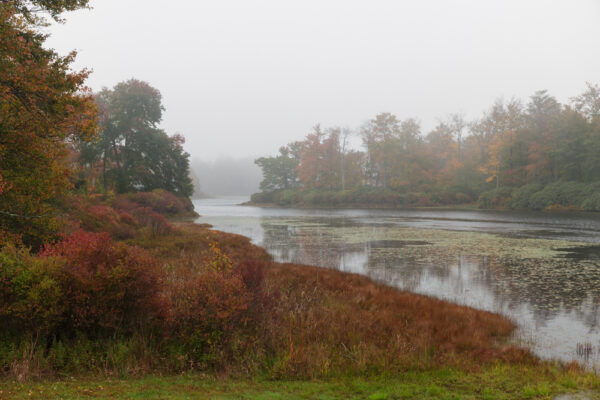
It’s worth noting that at the start of Lower Lake Road near the park office, there is a sign indicating that this road receives minimal winter maintenance, so you’ll want to exercise caution if you visit this trail in the wintertime.
[Click here for information on how to use the coordinates in this article to find your destination.]
Hiking the Little Falls Trail
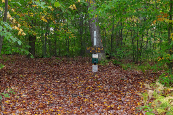
The trailhead for the Little Falls Trail is located directly across the road from the parking area. Pick up the trail and head to the left to start your hike.

"Waterfalls of Pennsylvania" by Jim Cheney
If you love PA waterfalls, you won't want to miss this waterfall book from Jim Cheney, author of Uncovering PA, featuring more than 180 great waterfalls. Order it now on Bookshop.org or Amazon.
Within a short distance, you’ll reach a small clearing. If you look to your left, you’ll see the dam below Lower Lake and, at the road, a view of the lake. I definitely recommend taking a minute to check out this spot before continuing on the trail.
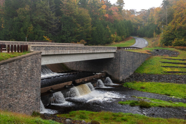
This is a loop hike, and signs on the trail recommend doing this hike in a clockwise direction, which means crossing the wooden bridge just downstream of the dam.
Overall, I think this is good advice. However, this far side of the creek has a few more roots and rocks in the trail, making it a bit more difficult hike (though only due to uneven terrain, not elevation change). It also seems to get a bit muddier than the near side of the trail.
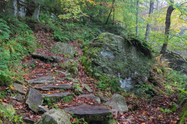
Because of this, if you are at all uncomfortable on uneven terrain, it might make more sense to just treat this as an out-and-back hike and head downstream without crossing the stream. For most though, these rocky areas add a bit extra interest to the hike and make the hike more fun, so I recommend crossing the creek and following the trail downstream if you can.
Whether you cross the creek or not, the trail heads downstream following closely to the banks of the East Branch of the Wallenpaupack Creek.
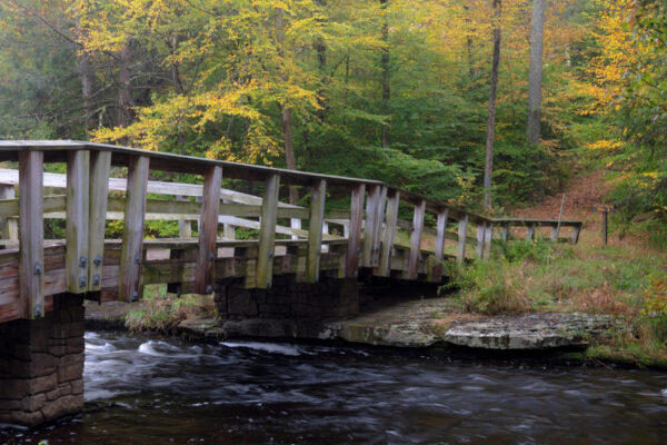
Shortly after starting your hike downstream, you’ll come to the first small waterfall on the trail. This waterfall is maybe three feet in height, but while it’s not tall, it is quite beautiful, so it’s worth taking a few minutes to enjoy this spot.
From there, the trail winds another third of a mile down the stream, past large boulders, and through a beautiful woodland.
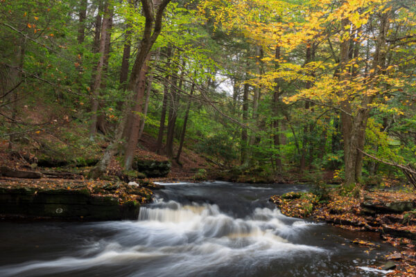
After about four-tenths of a mile, the trail reaches a five-foot waterfall just upstream of Little Falls. While it might be tempting to pass over this spot to see the trail’s highlight, this is quite a neat little spot to spend a minute enjoying.
Once you’ve had a chance to check out this five-foot waterfall, head about 100 feet downstream to the crest of Little Falls.
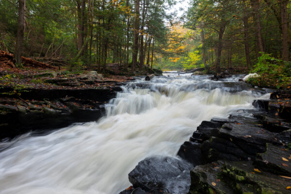
Little Falls is only bout 8-10 feet in height, but it is the largest waterfall in Promised Land State Park. And, what it lacks in height, it makes up for with a dramatic setting.
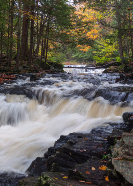
That’s because this waterfall is surrounded by short rocky cliffs that provide both a lot of beauty and many different vantage points to check out this waterfall on both sides of the stream.
Just downstream of the waterfall, a wooden bridge crosses the creek and provides even more great views of the waterfall and access to the rest of the trail.
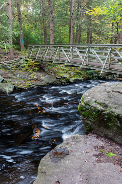
On the far side of the bridge, there is a single bench where you can relax for a bit and enjoy this spot.
After enjoying this spot, the park recommends that you follow the creek upstream to head back towards your car. That would make your hike about a mile in length.
On both sides of the creek, the trail does continue further downstream, however. If you go past Little Falls, the park recommends having a park map with you. I’m assuming because the trail peters out and gets hard to follow.
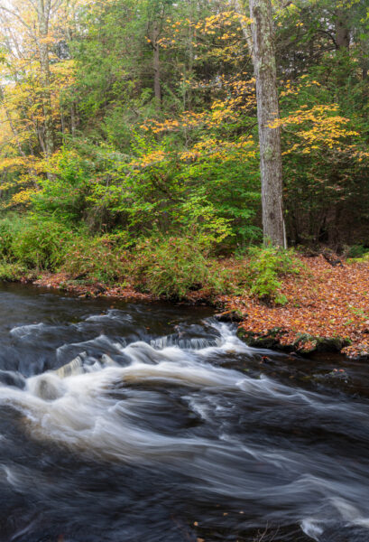
I opted to follow the trail downstream a few hundred yards just to see if there was anything to see further down the trail. And, while this was a beautiful area, I didn’t see anything of specific note.
Because of that, I see no reason why you shouldn’t just follow the park’s advice and hike back upstream to complete the loop and return to your car. You can always hike another trail in the park if you are looking to get in more hiking while in the area.
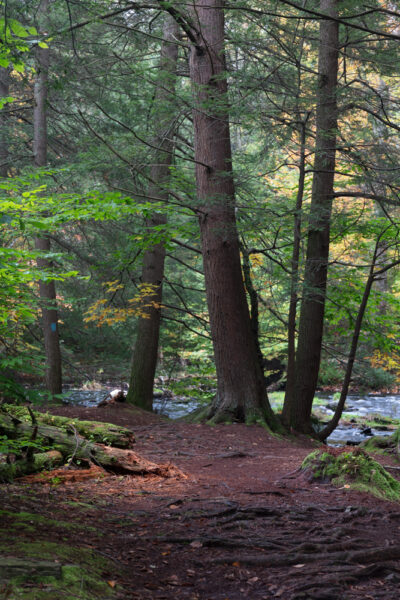
Overall, Little Falls in Promised Land State Park is far from the biggest and most impressive of the waterfalls in the Poconos. However, it is located in quite a beautiful spot, and the hike to reach it is both easy and fun.
So, if you are looking for a new spot to explore in the Poconos, this is definitely a spot that I’d recommend seeking out.
Looking for even more places to visit? Check out Shuman Point Natural Area, Rattlesnake Falls, and Raymondskill Falls.



 "
"


