The Poconos is an amazing area of the state for waterfall lovers. However, while many of the most popular waterfalls, such as Dingmans Falls and Raymondskill Falls, are often quite crowded, there are still hidden gems to be discovered in this corner of the state.
Rattlesnake Falls is located deep in the northern reaches State Game Lands 221 near Mountainhome, PA. This 5,000-acre parcel of land isn’t one that sees many hikers due to its remote location, but the chance to hike to the beautiful Rattlesnake Falls makes this a worthwhile spot to visit.
(There is also a Rattlesnake Falls near Scranton, PA)
The hike to Rattlesnake Falls in Monroe County, PA starts from a small parking area at the end of the road leading into this part of the game lands. Most of the hike follows this now-closed roadway through the forest. This makes most of the hike relatively easy, though there is a bit of elevation gain and the road is a bit overgrown in a few spots.
From the parking area (Full directions below), head past the gate, and continue walking up the road.

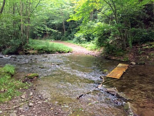
After a short distance, you will come to a wet stream crossing of Rattlesnake Run. If you come when water levels are higher, which you likely will because that means the waterfall is flowing well, it’s very unlikely that you’ll be able to cross here without getting your feet a bit wet.
Carefully cross the stream, and continue hiking up the old roadway.
The road winds its way through the forest alternating between flat sections and others that are somewhat steep. 1.1 miles after leaving the parking area, you’ll see a wide trail heading off to the left. This turn is approximately at the following coordinates: 41.183517, -75.306100.
Take this trail for a couple of hundred yards until the path dead-ends into a large circular clearing.
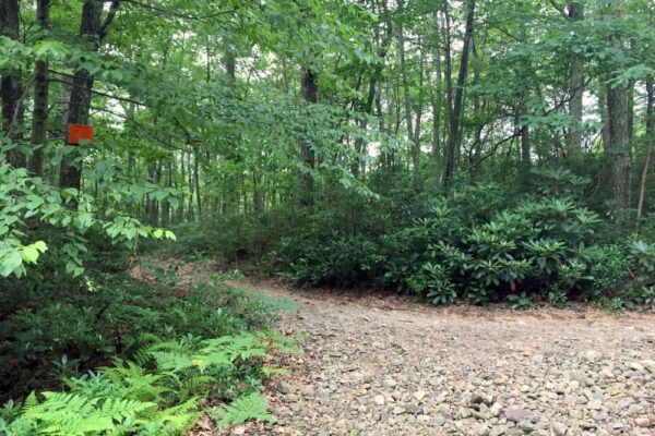
If Rattlesnake Falls is flowing well, you should be able to hear it from this clearing, though you won’t be able to see it.

"Waterfalls of Pennsylvania" by Jim Cheney
If you love PA waterfalls, you won't want to miss this waterfall book from Jim Cheney, author of Uncovering PA, featuring more than 180 great waterfalls. Order it now on Bookshop.org or Amazon.
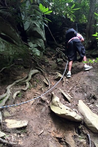
From the clearing, notice a small path that heads steeply downhill to your right. This trail descends a short distance to Rattlesnake Falls and is by far the most difficult portion of the hike to the waterfall. This short section should only be attempted by those very comfortable climbing up and down steep hillsides.
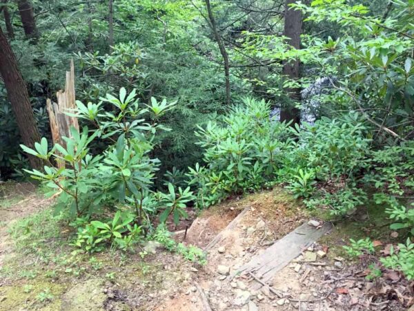
At the time of my visit, there was a rope strung up that assisted with heading up and down this steep and slick hillside. However, that may or not be present during your visit. If it is, and you opt to use it, use extreme caution as old ropes can break.
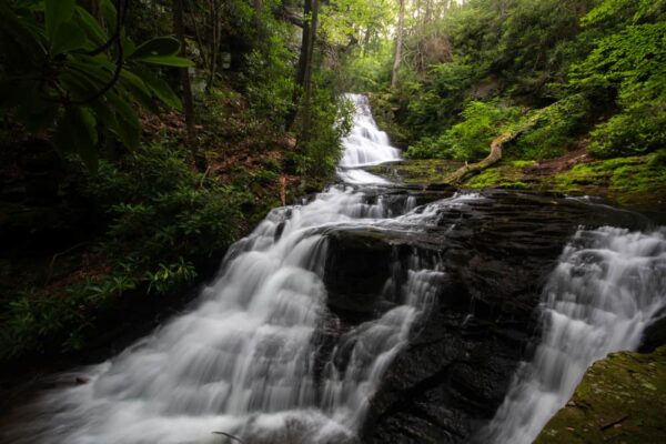
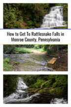
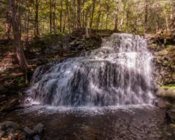
Once at the bottom of the hill, you’ll be standing at the base of the main drop of Rattlesnake Falls and just above a smaller lower drop.
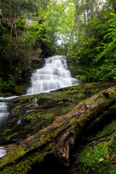
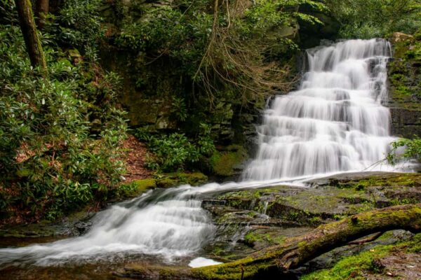
The main drop here is approximately 10-15 feet in height, with the lower drop about 5-7 feet tall. While it’s far from the tallest waterfall in the Poconos, it’s definitely one of the most secluded and is quite beautiful.
Viewing the upper falls is quite easy as there is a decent amount of land surrounding the falls. This means you can take a few minutes to really sit and enjoy the waterfall.
The lower falls can be fairly easily viewed from above, but getting to the bottom is much more tricky.
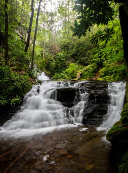
To get to the bottom, you’ll either have to climb down the slippery rocks on the side that you are on, or cross the stream between the drops and descend down a rather steep and slippery slope to the base of the second drop.
Having done this myself, I don’t feel like the view from the bottom of the lower falls is worth the difficult and somewhat dangerous descent.

However, I definitely feel that Rattlesnake Falls itself is a fantastic spot to visit and is worth the effort to see. Just stick to the main viewing area when you do.
If you are looking for an incredibly beautiful spot that few others have seen, I highly recommend taking the time to hike to Rattlesnake Falls in Monroe County’s State Game Lands 221.
How to Get to Rattlesnake Falls in Monroe County
The parking area for Rattlesnake Falls is located near Mountainhome, PA at the end of Pleasant Ridge Road. It can be found at the following coordinates: 41.179786, -75.287938.
From here, head further up the road and past the gate. The trail continues on this road for 1.1 miles, and the entire hike to Rattlesnake Falls is roughly 2.5 miles roundtrip.
Rattlesnake Falls itself can be found at the following coordinates: 41.182583, -75.306117.
Looking for more places to visit in the area? Check out Little Falls, Tobyhanna Falls, Marshalls Falls, and Resica Falls.
[Click here for information on how to use coordinates]

 "
"



Hi Jim, love your newsletter! We hiked up to rattlesnake falls today (Monroe Co.) Your directions were great! The ropes are still there and in good shape. This place is just minutes from our vacation home in Canadensis but never new about it. We’ll keep reading!! Jeff and Sandy Levengood
Thanks for the update and for letting me know the directions were clear. Hope you had a great time.
Coordinates are much appreciated along with detailed text and photographs! Your review and directions are the best I’ve found. My family has been coming the these falls for years – truly a hidden gem! Also, if you’re brave, you can climb the main waterfall to reveal a few small falls and wading pools which can’t be seen from below…makes a great find!
Glad to hear it was helpful! I’ll have to try and get above the waterfall next time.
what falls or activity would you recommend for non climbers with children ages 11, 10, 7?
There are a ton of great waterfalls to see in the Poconos. Most of the ones on this list would be great! https://uncoveringpa.com/waterfalls-in-the-poconos
We tried to get to these falls today, but at the pull off there is a sign that says “private property, No falls here.” Is there another place to park to view these falls?