Pennsylvania is dotted with many incredibly historic spots, and there are even a fair number of abandoned places in PA that you can explore. However, few know that the state was home to several now abandoned World War 2 POW camps.
While I visited the Abandoned Pennsylvania Turnpike several years ago, it wasn’t until recently that I learned that just around the corner from this popular attraction that you could find one of these POW camps.
History of the Abandoned POW Camp in Buchanan State Forest
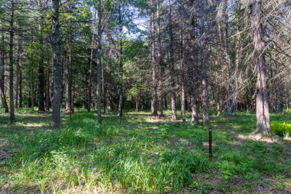
Known as Branch Camp 6, German POWs were held in this forested corner of Fulton County, PA from May 1945 until March 1946. They were primarily tasked with cutting pulpwood, which is primarily used to make paper.
However, despite the camp only having a 10-month history as a POW camp, there’s a lot more to uncover at this spot.
The camp was originally constructed in 1933 for use by the Civilian Conservation Corps. This government organization gave jobs to unemployed young men during the Great Depression and built much of the historic infrastructure you see at state parks and forests around Pennsylvania.
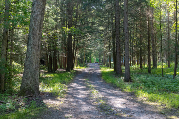
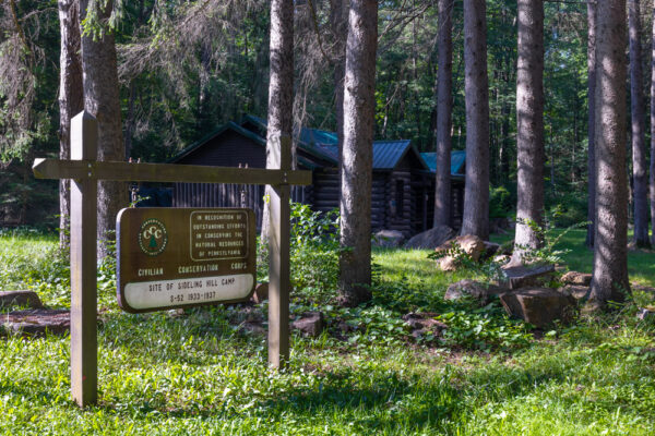
The camp here was known as the Sideling Hill Camp or S-52 and was in operation from 1933 until 1937. The men stationed here helped to clear the forest and built many of the roads in Buchanan State Forest.
Later, from 1939-1940, the camp was used by those building the Pennsylvania Turnpike. However, other than a few mentions of this, I couldn’t find any additional information about this part of the camp’s history.
In 1941, the camp reopened and was a base for conscientious objectors during World War 2. Known as Conscientious Objectors Camp #20, the location was chosen specifically because it was located adjacent to the PA Turnpike, which had opened in 1940.

This camp ran until 1944. The men stationed here did a variety of non-military tasks including fighting forest fires, building roads, and planting trees.
The final usage of the camp appears to be the German POW camp. After the POW camp closed in 1946, this area wasn’t used for much over the later decades, and I couldn’t find out if the buildings here were torn down or simply lost to time.
Today, while little remains of the camp, even less than what remains at Camp Michaux, another POW camp in Cumberland County, this is still an interesting spot to check out.
How to Get to the Abandoned POW Camp in Buchanan State Forest
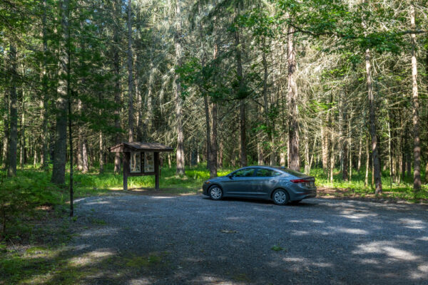
This historic German POW camp is located along Oregon Road in Buchanan State Forest in Fulton County, PA. It is just down the road from the Abandoned PA Turnpike, and you can even use the parking lot here for quick access to the Sideling Hill Tunnel if you want to explore the site.
Oregon Road is a well-maintained gravel road. I’ve driven nearly the entire road between Route 30 and Route 915 in October 2020 and June 2021 and the road was in good shape on both occasions, and I had no issues driving my compact car the length of it.
The parking area for the camp can be found at the following coordinates: 40.050775, -78.149310.
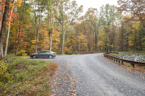
If you turned onto Oregon Road from Route 30, this parking lot will be on your left. If you turned onto the road from Route 915 (North Valley Road), the parking will be on your right.
Adjacent to the parking area is an information kiosk.
On the parking lot side of this kiosk, you’ll see several signs that explain the unique history of this area. There are also photos that do a great job illustrating the types of camps that were here in the 1930s and 1940s.
On the opposite side of the kiosk, there is more information on the area’s use as a POW camp. Most interestingly, there is a map that shows where various structures and other points of interest were in the camp.
If you look around you, you’ll notice that there are numbered posts scattered along the road and even in the underbrush throughout the area. These numbers correspond to the map on the kiosk.
I recommend taking a picture of this sign with your phone so that you can reference it while walking around the area.
[Click here for information on how to use coordinates to find your destination.]
What to See at the World War 2 POW Camp in Fulton County
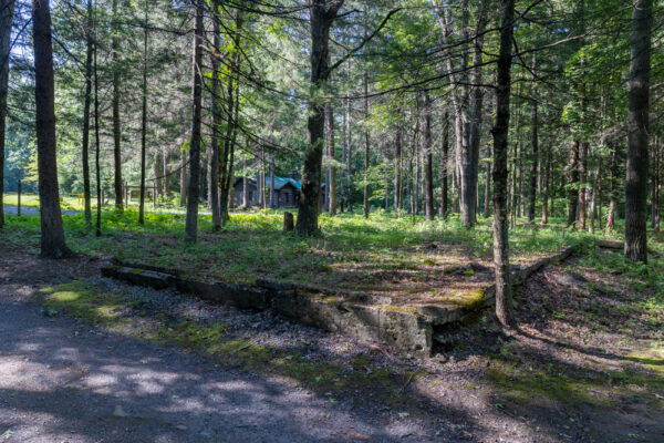
To be honest, there’s not a ton to see at the POW Camp in Fulton County. This is definitely more of a spot for those that love history.
That being said, there are many markers around the site and several remnants of buildings that can be seen here.
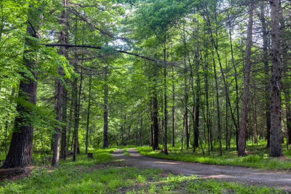
Most of the markers for the camp are on the parking lot side of Oregon Road. From the parking area, you’ll see a u-shaped road along which many of these spots appear.
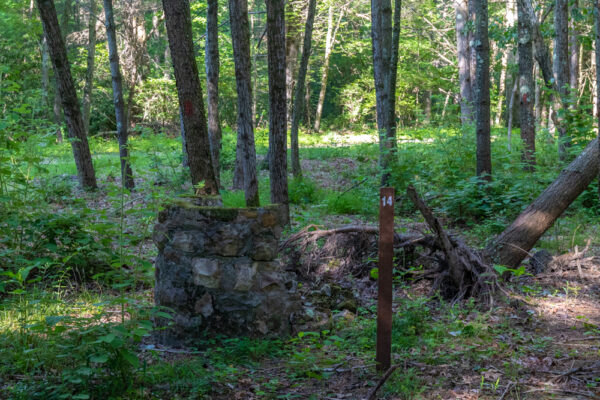
That being said, there are things to see here, and if you walk around with a photo of the map from the kiosk, you’ll be able to get a good sense of the layout of the camp.
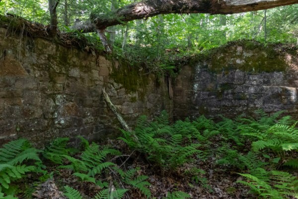
Walking along the roads, take a minute to notice the foundations of buildings and the lone chimney sticking up into the air, and think about what life was like here for the three different groups of people that used this camp many decades ago.
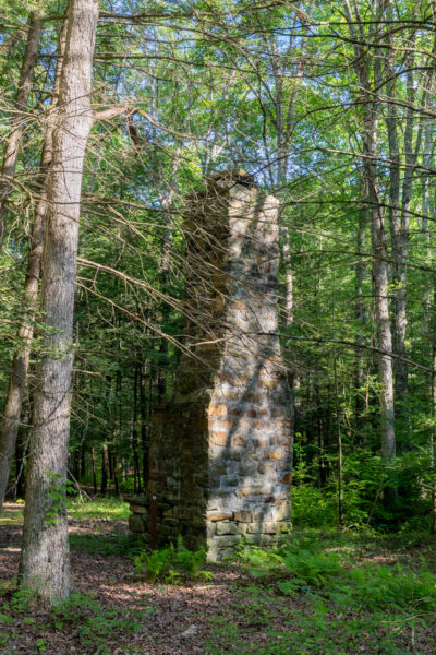
It’s also worth noting that, nestled within the ruins, is a state forest camping spot. This is likely the closest legal place that you can camp for access to the PA Turnpike. (Note that while this is a free camping spot, a permit is required. Find out information on the state forests’ website.)
While there aren’t as many points of interest on the opposite side of Oregon Road, you will find the two most intact buildings on this side of the road.

The most obvious building is the former officers’ quarters building, This log structure is in fantastic space but is now private property, so only enjoy looking at it from the road. I would imagine that, in their heyday, most of the buildings on the site looked similar to this one.
To the right of the officers’ quarters, you should see a narrow trail leading to the ruins of a structure that, at least today, looks like it was built into the hillside. According to the map of the site, this was the general’s quarters.
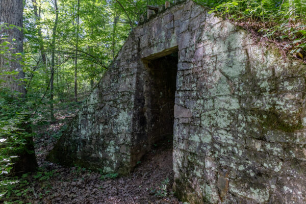
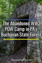
This building is rather small but the four walls of the structure are remarkably intact. While there isn’t much to see in the interior and it’s quite overgrown, you can pop your head through the doorway to get a look inside.
The other spot to note is located to the left of the officers’ quarters.
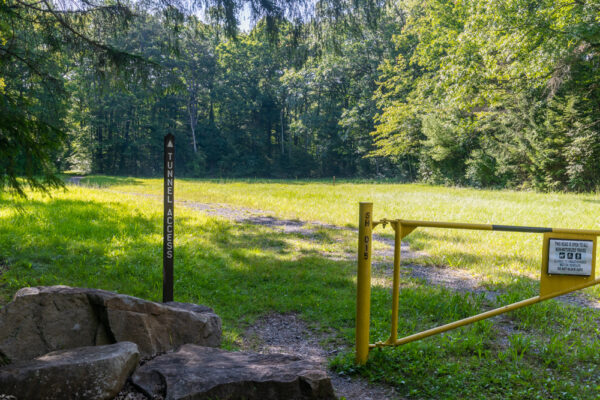
Adjacent to the gate, you’ll see a sign that indicates “Turnpike Access”. This is not for the modern PA Turnpike but for the abandoned section of the Turnpike. Follow this obvious trail through the woods if you want to see this pretty incredible spot.
It’s worth noting that, while I didn’t measure the distance, this is likely the closest access point to one of the two tunnels on the turnpike, in this case, the less-visited end of the Sideling Hill Tunnel.
Ultimately, whether you drive out solely to see the ruins of this German POW camp in Buchanan State Forest or just make it a detour while exploring the Abandoned Pennsylvania Turnpike and the Abandoned Railroad Arch, these ruins are fun to explore.
If you love history and find yourself exploring Fulton County and the Allegheny Mountains, I definitely recommend adding this spot to your list.
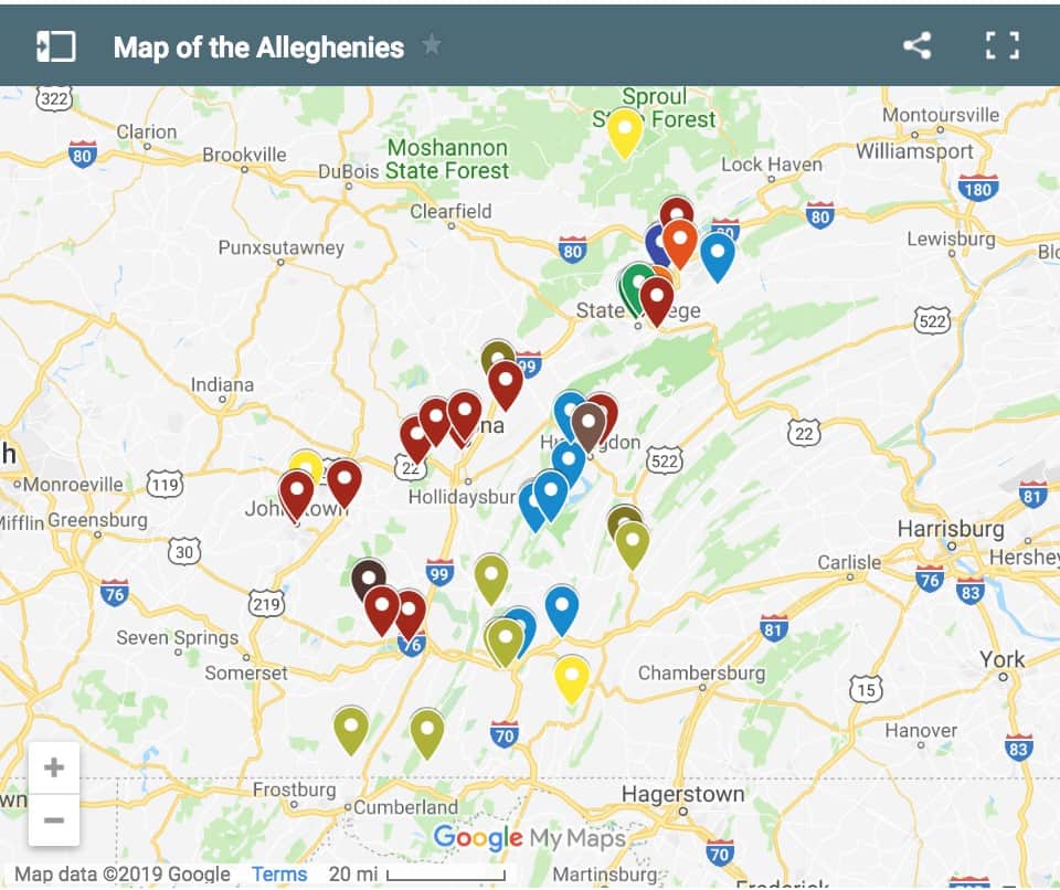
Looking for even more places to visit nearby? Check out the covered bridges of Bedford County, Big Mountain Overlook, and the Fort Bedford Museum.
If you want to see more World War 2 history, check out the abandoned Alvira munitions bunkers near Williamsport and the Eldred World War 2 Museum in McKean County.

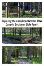
 "
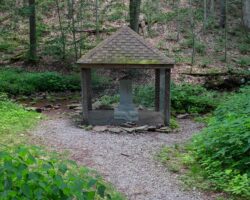
"




I was just at the Sideling Hill camping spot next to the CCC camp. Camped and rode our horses through Buchanan State Forest and explored the turnpike tunnel area.
WE HAD A CAMP IN OUR AREA, “CAMP COOK” (CCC) ON THE MOUNTAIN JUST NORTH OF MONTOURSVILLE, UP RTE 87. (WILLIAMSPORT) HAD BARRACKS, MESS HALL, OFFICERS QUARTERS, ETC, MOSTLY JUST FOUNDATIONS, BUT SOME BODY APPARENTLY KEPT THE GRASS MOWED?? OUR ARMY UNIT, (RESERVES) WAS PERMITTED TO BIVOUAC THERE IN THE 70’S. NICE!