Rock Run, located in McIntrye Wild Area of Loyalsock State Forest near Ralston in Lycoming County, is one of the most beautiful streams in all of Pennsylvania. The waters of this stream are crystal clear and pass through incredible gorges and flumes and over waterfalls as the stream makes its way towards its confluence with Lycoming Creek.
During the last four miles of its course, Rock Run Road follows the course of the stream through this isolated part of Pennsylvania and provides easy access to the waterway.
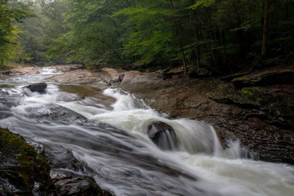
On this stretch, you’ll find several spots that worth exploring including three waterfalls. While none of the Rock Run waterfalls are large, they are worth visiting because of the sheer beauty of the stream.
Here’s a bit of information to help you explore all three of these great waterfalls.
Upper Rock Run Falls
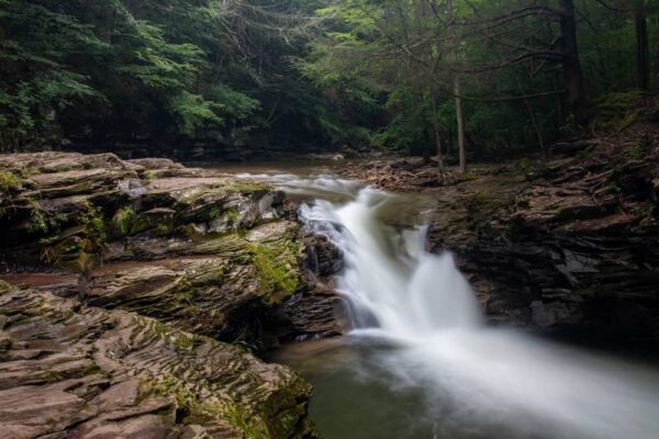
The uppermost waterfall on Rock Run is also the tallest of the three along the stream.
Upper Rock Run Falls is fairly easy to reach with an obvious trail leading a quarter mile or so from the road to the top of the falls. Because of the cliffs, there are great views to be had at the crest of this waterfall, but it’s not possible to photograph the falls from below.
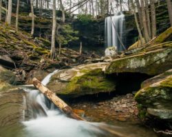
Upper Rock Run Falls is about 10 feet in height and slides through a flume into a small pool at the base of the falls. This creates a very scenic spot that looks great in photos and is a fantastic place to simply take a few minutes to enjoy the beauty of nature.
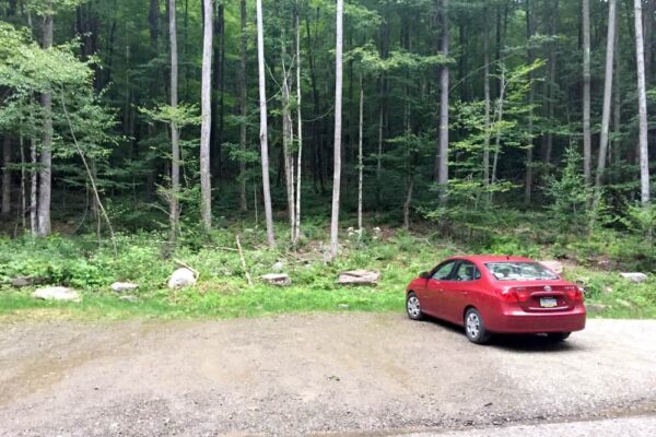
Upper Rock Run Falls can be found at the following coordinates: 41.522217, -76.906550. Parking for the falls is at a large pull off along Rock Run Road at roughly the following coordinates: 41.521900, -76.907800.
If you come to the second bridge on Rock Run Road when traveling from Ralston, you’ve gone too far. However, this is where you’d want to park to explore the beautiful Hounds Run Falls.
Middle Rock Run Falls
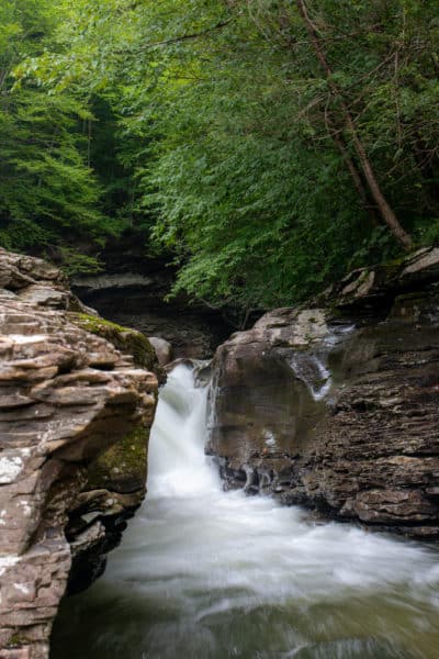
Middle Rock Run Falls is probably that most popular of the three waterfalls on the stream. While it is only 7-8 feet in height, this is also probably my favorite of the three to photograph.

"Waterfalls of Pennsylvania" by Jim Cheney
If you love PA waterfalls, you won't want to miss this waterfall book from Jim Cheney, author of Uncovering PA, featuring more than 180 great waterfalls. Order it now on Bookshop.org or Amazon.
The rocks surrounding the middle waterfall on Rock Run are stunning and offer several great vantage points for views and photographs of this waterfall. These include the ability to stand both at the end of the rocks above the waterfall and near the bottom.
While I rarely recommend standing near the edge and definitely urge extreme caution if you do, this is a relatively small waterfall (though the water is very cold should you fall in).
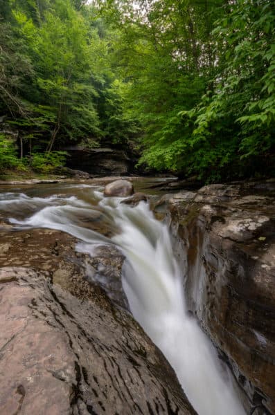
The hike to Middle Rock Run Falls is fairly easy and there’s even a sign that points the way that says “Middle Falls”. The waterfall can be found at the following coordinates: 41.517617, -76.913083.
While there are a few places you can park when visiting this waterfall, the easiest is to park at the first bridge on Rock Run Road (when coming from Ralston). There is a large parking area adjacent to the bridge that can be found here: 41.515890, -76.916661.
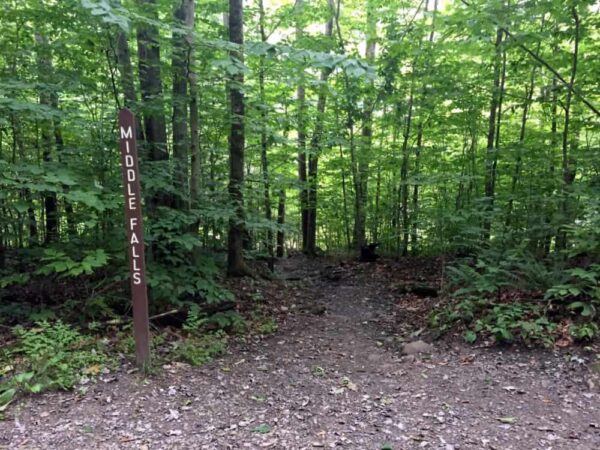
From here, walk on the road away from Ralston for a short distance until you see the sign and trail down to Rock Run.
This is also the parking area for the fantastic hike up Miners Run. The first of the seven waterfalls on Miners Run can be seen from the bridge, so make sure to enjoy this spot before heading to Rock Run.
Lower Rock Run Falls
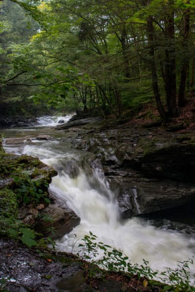
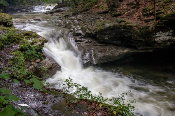
Of the three waterfalls on Rock Run, the furthest downstream is definitely the most difficult to see.
While the trail down to the water isn’t overly difficult, the waterfall is located a bit downstream of where the trail takes you to. This, combined with the cliffs around Rock Run and the underbrush makes it difficult to get a good view of this waterfall.
While it’s worth seeing if you have the ability, it’s also the one I’d recommend skipping if you didn’t feel comfortable with off-trail hiking or if you simply don’t have time to see them all.
Lower Rock Run Falls is roughly 6-8 feet tall and is located at the following coordinates: 41.513333, -76.920600. Parking can be found on the road at roughly the following coordinates: 41.518139, -76.912922.
Looking for more places to visit in the area? Check out Band Rock Vista, the covered bridges of Lycoming County, Dutchman Run Falls, and Jacoby Run Falls.
[Click here for information on how to use coordinates to find your destination.]




Jim
Great stuff as always. I was curious about the propsects for some trout fishing in Rock Run Stream or others in the area. Just beginning an interest in fly fishing and would like to combine a sight seeing trip for the falls with a fishing expedition. Any thoughts?
Keep up the good work.
I know people fish there, but I don’t know how good the fishing is, unfortunately. Maybe someone else can provide a better answer.
Rock run is full of trout! We were just up there today swimming and with goggles on you can see lots of trout swimming. I was able to catch three on a spinner bait.
Camping, Fires and Alcohol are Prohibited in Rock Run Valley.
It is also closed at Sunset.
There are a few camping spots in the valley you can get a permit to stay at, but otherwise yes. The same goes for most outdoor areas in PA.
In Rock Run Valley itself camping is not permitted. Along the O.L.P. yes. The closest permit spot is the top of Yellow Dog Rd Site 36. Masten camp site is also near there but not in Rock Run Valley.
Hello,
Can you please Supply me with some of the closest hotels to the Rock Run swimming hole waterfall area?
Thank you,
Crissy Kirlin
Your best bet would be to look in Williamsport for hotels near Rock Run.
Stay at Sqaurewoods Campground at Sheshequin in Trout Run just 3 miles away. They also have a cabin you can rent at a reasonable price. Very scenic Campground, clean restrooms and showers, and a beautiful creek that roars through it which is very well stocked all season with trout. Call and ask for Chuck . You will be very pleased!!
What you and the state call “Middle Falls” locals born and raised there refer to as 2nd falls due to the double tier falls and the fact that the falls are listed by locals as 1st, 2nd and 3rd falls.
I visited all three falls today and pictures just do not do this place Justice! The rugged beauty is absolutely mind blowing! So glad to find a gem like this in PA. My husband and I will now be taking a day to do each of the hikes you recommend in this area.
Something we were both curious about, however – do you know anything about the many properties/cabins along Rock Run rd? It’s clear at least one is owned by/for Fish & Wildlife but we noticed a few were at least recently used and one even had some towels/sheets hanging outside to dry. The whole area says for day use only but we were super curious if maybe the cabins/houses were available to rent to stay there. I scoured the internet using the addresses for each “cabin” we saw and there’s absolutely no information regarding who owns them or what they are used for. It’s all standard property value and property tax info. We initially assumed maybe they were owned by the state but figured if that were the case, PA wouldn’t resist the opportunity to rent them out to make money off of them – after checking again, it’s clear there’s no standard way to go about renting them so I’m assuming they aren’t.
Anyone know anything about these properties/cabins and their uses?
None of them are rentable from the state. I believe that the property owners lease the land from the state for cabins that have been there since before the state owned the land there, but I could be wrong about the second part.
The cabins are all privately owned. The cabin at the second falls has been in the same family since the 50s and it is not for rent. The cabin behind it is or was owned by someone that lives in Ralston. I have been going up there since 1958. In the early 60s the state bought Mcintyre Mountain from the Ralston Coal Co. The states plan was to turn it into a wilderness area. My family were members of the Mcintyre Hunting Club. We had a cabin up on Mcintyre Mt. I am the only surviving member of the club. As you reach the top the road where it starts to flatten, on the right there is a old foundation where the cabin was located. In the early 70s when the state decided to make the mountain a wilderness area they issued papers of eminent domain to all the cabin owners. The only property taken was our cabin up on the mountain. The cabins along Rock Run were left alone. The Rock Run gorge is a beautiful area. In my much younger days I hiked the length of the Rock Run from the bridge on Yellow Dog Rd. down to Lycoming Creek. I also hiked Miners Run from where our cabin was down to Rock Run Rd. and back up to Carry Swamp where a beaver dam and pond were located. On the other side of the mountain there is Dutchmans Run. If there is good water that’s a beautiful hike also with a few small cascading waterfalls. If you do it be aware Rock Run is not a easy hike.