Pennsylvania is home to many mountains and rolling hills, but have you ever wondered what is the highest point in Pennsylvania?
Mount Davis in PA’s Somerset County has the distinction of being the tallest mountain in Pennsylvania. The peak of the mountain is in Forbes State Forest about four and a half miles north of the Maryland border.
It sits along a 30-mile ridgeline known as Negro Mountain (Note: Maybe we should think about changing that name one of these days).
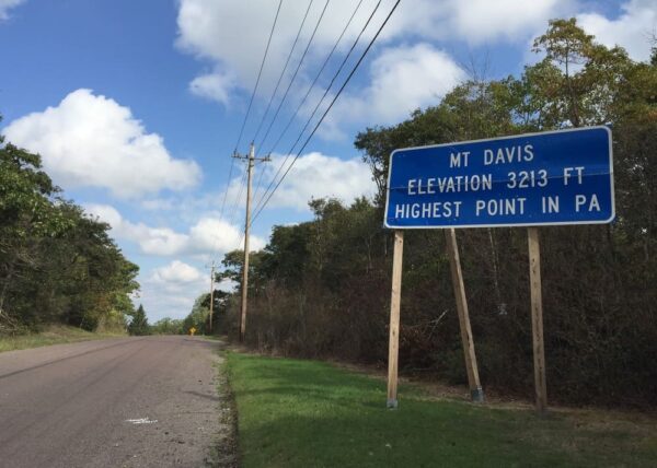
Amazingly, at a mere 3,213 feet above sea level, the peak of Mount Davis is actually at a lower elevation than the lowest point in the entire state of Colorado. Still, visiting the peak of Mount Davis offers not only the chance to visit the highest point in PA, but also offers great views and some nice hiking.
Mount Davis is located roughly 10 miles west of Meyersdale, Pennsylvania. Reaching the top of the mountain is quite easy as a road takes you all the way to the top of the hill.
From a large parking lot just off of Mount Davis Road, it’s less than 100 yards of flat walking to the official peak.
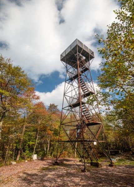
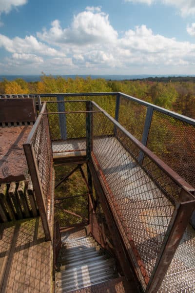
The forested hillsides of Mount Davis provide nary a view of the surrounding countryside. Fortunately, there is an observation tower than stands more than 50 feet above the highest point in PA and provides commanding 360-degree views.
For those that are nervous about climbing the structure, it should be noted that not only is the view amazing, but the structure is surprisingly sturdy and I couldn’t feel any sway in it even during wind gusts.
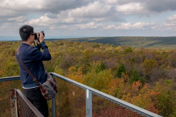
Interestingly, from the top of the Mount Davis observation tower, it appears that several of the nearby peaks are actually higher than the one you are on. However, signage at the top of the tower indicates that this is an optical illusion and gives the calculated heights for each of these mountaintops.
After taking your time to enjoy the amazing view from the top of the tower atop the tallest mountain in Pennsylvania (and realizing that, at that moment in time, no one in PA is at a higher elevation than you are), head back to ground level.

"Waterfalls of Pennsylvania" by Jim Cheney
If you love PA waterfalls, you won't want to miss this waterfall book from Jim Cheney, author of Uncovering PA, featuring more than 180 great waterfalls. Order it now on Bookshop.org or Amazon.
Just past the observation tower is a small display that tells a bit about the history and geography of the area. While there are a few less than politically correct phrases that date the panels, they still provide some good information and are worth checking out.
For those that wish to continue exploring the area, there is are 10 miles of trails that crisscross Mount Davis. A popular five-mile loop can be found here.
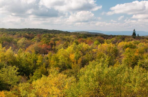
If you are pressed for time, a quick spot worth checking out is Baughman Rocks (not to be confused with a vista of the same name in nearby Ohiopyle State Park).
A trail of less than 100 yards from a small dirt parking area along Mount Davis Road takes you to the top of the rocks. Here, you’ll find benches, as well as a sign that tells about one of the most interesting stories connected to the rocks.
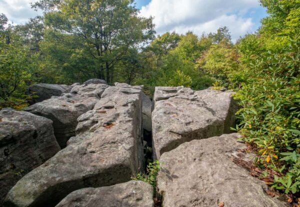
If you do visit, use caution if you opt to step out onto the rocks, as the crevices between the rocks are roughly 30 feet deep, which would make for a rather dangerous fall.
While Mount Davis might be all that high, the chance to visit the tallest mountain in Pennsylvania is something that shouldn’t be missed. Not only is there the chance for fantastic views from the top of the observation tower, but it offers a chance to experience the beauty of this corner of Pennsylvania’s Laurel Highlands.
(Find out about visiting the second-tallest mountain in PA at Blue Knob State Park in Bedford County.)
How to Get to the Top of the Tallest Mountain in PA
The easiest way to get to the top of the highest peak in Pennsylvania is to drive. A road takes you to within steps of the top of Mount Davis.
There is a parking lot just off of Mount Davis Road which can be found at the following coordinates: 39.785969, -79.178114. Note that this area often receives a lot of snow in the winter, and the parking lot may or may not be maintained during the colder months of the year.
From the parking lot, walk past the gate to your left. The Mount Davis Observation Tower is only about 100 yards past the gate at the following coordinates: 39.786085, -79.176974.
[Click here for information on how to use the coordinates in this article to find your destination.]
Want to visit other natural wonders in Pennsylvania? Check out our list of the 7 Natural Wonders of Pennsylvania, check out the Triple Continental Divide, or uncover the tallest waterfall in PA.
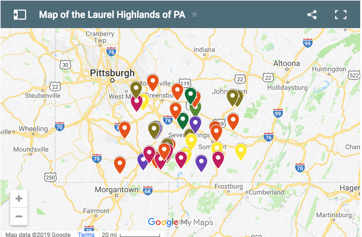
Other nearby attractions include the Great Allegheny Passage, the Salisbury Viaduct, the covered bridges of Somerset County, and Cole Run Falls.


 "
"


Negro just means “black” (as in the color) in Spanish. The name was originated by the PA settlers, long before slavery.
Yes, but one of the stories of how it got named was after African-Americans in the area, which would make its naming questionable.
Negro Mountain was discovered by the French explorers back many years ago. They named it negro mountain after the fact that the Mountain look black from a distance . The French word for black is negro . Has nothing to do with race ! There is plaques in the area of the tower stating this, plus other interesting facts of this area are on plaques there to read . Interesting place to visit.
There are several interpretations of how it got its name. That’s not one I’ve heard or read before.
That’s not true. Black mountain in French would be: montagne noire